Hindupur night lights from space
Night Light of Hindupur (Andhra Pradesh) from space (India) Src. Average luminocity for 10x10km area is 40.3347% and for 50x50km: 6.8342%.
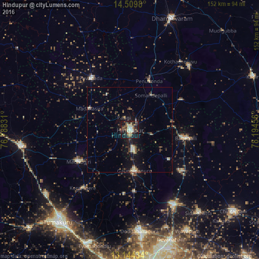
Analysis of Hindupur night lights 2016
Square area 10x10 km:
 2.07%
2.07%90-99
8.68%80-89
9.09%70-79
1.65%60-69
3.51%50-59
7.44%40-49
5.99%30-39
12.4%20-29
8.47%10-19
37.6%0-9
3.1%Square area 50x50 km:
0.11%90-99
1.06%80-89
0.91%70-79
0.25%60-69
0.46%50-59
1.5%40-49
1.45%30-39
1.87%20-29
1.74%10-19
6.1%0-9
84.56%Clear (daylight) street map image can be seen on geolist.org.
Map coordinates:
14° 30' 35.3" North, 76° 47' 17.9" East
13° 49' 41.1" North, 77° 29' 29.1" East
13° 8' 39.6" North, 78° 11' 40.4" East
Some cities around Hindupur sort by population:
• Goribidnūr
24.3 km =15.1 mi,  173°
173°
• Pāvugada
37.8 km =23.5 mi,  322°
322°
• Maddagiri
35.4 km =22 mi,  238°
238°
• Gorantla
34.9 km =21.7 mi,  60°
60°
• Bāgepalli
33.3 km =20.7 mi,  98°
98°
• Penukonda
30.4 km =18.9 mi,  21°
21°
• Gudibanda
28.9 km =18 mi,  127°
127°
• Kodigenahalli
16.4 km =10.2 mi,  223°
223°
1270079 (p: 133,298)
Sources (retrieved 2019-11-25):
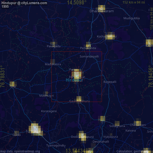
» NASA, Earths city lights 1995
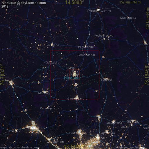
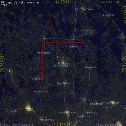
» NASA city lights 2003
» Earth at Night: Flat Maps 2012, 2016