Asifābād night lights from space
Night Light of Asifābād (Telangana) from space (India) Src. Average luminocity for 10x10km area is 8.6426% and for 50x50km: 2.9508%.
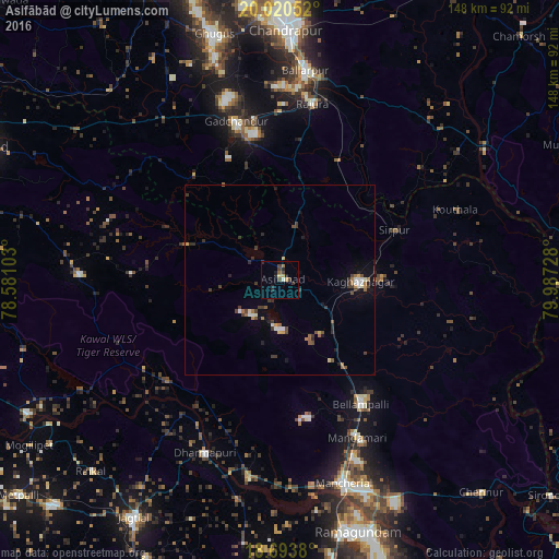
Analysis of Asifābād night lights 2016
Square area 10x10 km:
 0%
0%90-99
0.83%80-89
0.83%70-79
1.65%60-69
1.03%50-59
0.62%40-49
2.27%30-39
2.69%20-29
4.13%10-19
1.65%0-9
84.3%Square area 50x50 km:
0.24%90-99
0.32%80-89
0.19%70-79
0.31%60-69
0.45%50-59
0.41%40-49
0.58%30-39
0.85%20-29
0.72%10-19
0.95%0-9
94.97%Clear (daylight) street map image can be seen on geolist.org.
Map coordinates:
20° 1' 13.9" North, 78° 34' 51.7" East
19° 21' 30.6" North, 79° 17' 2.9" East
18° 41' 37.7" North, 79° 59' 14.2" East
Some cities around Asifābād sort by population:
• Ballālpur
54.7 km =34 mi,  6°
6°
• Mancherāl
56.3 km =35 mi,  164°
164°
• Bellampalli
40.2 km =25 mi,  146°
146°
• Mandamarri
48.1 km =29.9 mi, 155°
• Rājūra
47.6 km =29.6 mi, 10°
• Chāndur
43.4 km =27 mi,  344°
344°
• Lakshettipet
55.1 km =34.2 mi,  187°
187°
• Sirpur
33.4 km =20.8 mi,  66°
66°
1278282 (p: 21,213)
Sources (retrieved 2019-11-25):
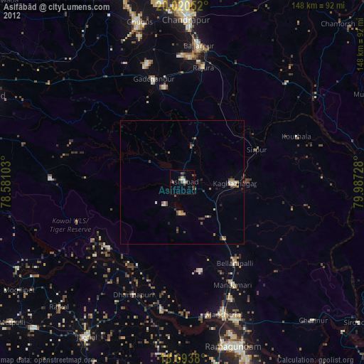
» Earth at Night: Flat Maps 2012, 2016