Mancherāl night lights from space
Night Light of Mancherāl (Telangana) from space (India) Src. Average luminocity for 10x10km area is 44.526% and for 50x50km: 18.7645%.
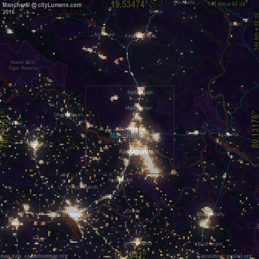
Analysis of Mancherāl night lights 2016
Square area 10x10 km:
 6.93%
6.93%90-99
8.44%80-89
6.06%70-79
3.9%60-69
6.93%50-59
3.68%40-49
6.28%30-39
11.47%20-29
18.4%10-19
24.89%0-9
3.03%Square area 50x50 km:
2.42%90-99
3.01%80-89
1.67%70-79
2.12%60-69
2.77%50-59
2.75%40-49
3.62%30-39
4.16%20-29
5.59%10-19
10.32%0-9
61.56%Clear (daylight) street map image can be seen on geolist.org.
Map coordinates:
19° 32' 5.1" North, 78° 43' 31.8" East
18° 52' 14.7" North, 79° 25' 43.1" East
18° 12' 14.8" North, 80° 7' 54.3" East
Some cities around Mancherāl sort by population:
• Rāmgundam
8.2 km =5.1 mi,  162°
162°
• Ramagundam
13.7 km =8.5 mi, 159°
• Bellampalli
21.7 km =13.5 mi,  18°
18°
• Mandamarri
11.6 km =7.2 mi, 24°
• Peddapalli
29.2 km =18.1 mi,  191°
191°
• Manthani
34.9 km =21.7 mi,  134°
134°
• Nāspur
4.4 km =2.7 mi, 128°
• Lakshettipet
22.3 km =13.9 mi,  268°
268°
1263936 (p: 77,998)
Sources (retrieved 2019-11-25):
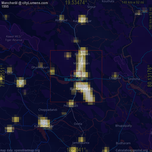
» NASA, Earths city lights 1995
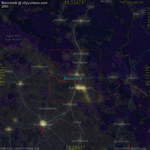
» NASA city lights 2003
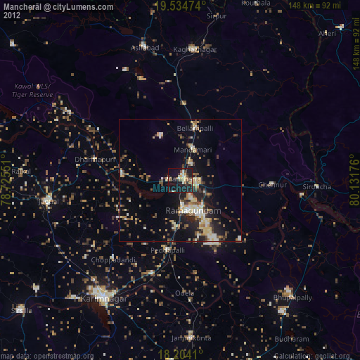
» Earth at Night: Flat Maps 2012, 2016