Āmli night lights from space
Night Light of Āmli (Dadra and Nagar Haveli) from space (India) Src. Average luminocity for 10x10km area is 84.7738% and for 50x50km: 29.1371%.
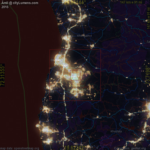
Analysis of Āmli night lights 2016
Square area 10x10 km:
 11.71%
90-99
32.74%80-89
24.6%70-79
13.89%60-69
14.68%50-59
2.18%40-49
0.2%30-39
0%20-29
0%10-19
0%0-9
0%Square area 50x50 km:
1.76%90-99
6.38%80-89
6.03%70-79
3.27%60-69
4.55%50-59
4.36%40-49
4.62%30-39
5.57%20-29
7.48%10-19
12.36%0-9
43.61%Clear (daylight) street map image can be seen on geolist.org.
Map coordinates:
20° 56' 29.2" North, 72° 18' 48.8" East
20° 16' 60" North, 73° 1' 0" East
19° 37' 20.7" North, 73° 43' 11.3" East
Some cities around Āmli sort by population:
• Valsād
37.3 km =23.2 mi,  346°
346°
• Vapi
15.2 km =9.4 mi,  310°
310°
• Daman
24.1 km =15 mi, 307°
• Pārdi
26.1 km =16.2 mi,  343°
343°
• Silvassa
2.3 km =1.4 mi,  243°
243°
• Dharampur
32.6 km =20.3 mi,  30°
30°
• Jawhār
46.7 km =29 mi,  152°
152°
• Parnera
31.7 km =19.7 mi, 347°
1278768 (p: 33,369)
Sources (retrieved 2019-11-25):
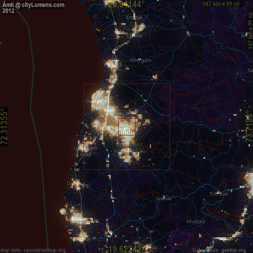
» Earth at Night: Flat Maps 2012, 2016