Ahiri night lights from space
Night Light of Ahiri (Maharashtra) from space (India) Src. Average luminocity for 10x10km area is 3.1632% and for 50x50km: 0.5638%.
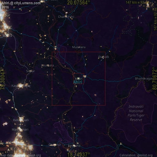
Analysis of Ahiri night lights 2016
Square area 10x10 km:
 0%
0%90-99
0%80-89
0%70-79
0.83%60-69
2.07%50-59
0%40-49
1.24%30-39
0%20-29
0%10-19
0%0-9
95.87%Square area 50x50 km:
0%90-99
0%80-89
0.06%70-79
0.06%60-69
0.1%50-59
0.1%40-49
0.33%30-39
0.15%20-29
0.19%10-19
0.12%0-9
98.88%Clear (daylight) street map image can be seen on geolist.org.
Map coordinates:
20° 4' 32.3" North, 79° 18' 1.7" East
19° 24' 49.9" North, 80° 0' 12.9" East
18° 44' 57.7" North, 80° 42' 24.2" East
Some cities around Ahiri sort by population:
• Ballālpur
84.1 km =52.3 mi,  304°
304°
• Bellampalli
66.8 km =41.5 mi,  233°
233°
• Mandamarri
74.7 km =46.4 mi, 228°
• Rājūra
78.3 km =48.7 mi, 301°
• Mūl
80.5 km =50 mi,  334°
334°
• Asifābād
75.7 km =47 mi,  265°
265°
• Allāpalli
6.6 km =4.1 mi,  72°
72°
• Sirpur
45.5 km =28.3 mi,  279°
279°
1279237 (p: 14,384)
Sources (retrieved 2019-11-25):
» Earth at Night: Flat Maps 2012, 2016