West Jerusalem night lights from space
Night Light of West Jerusalem (Jerusalem) from space (Israel) Src. Average luminocity for 10x10km area is 97.4103% and for 50x50km: 48.6539%.
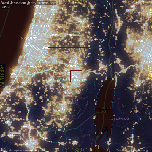
Analysis of West Jerusalem night lights 2016
Square area 10x10 km:
 60.44%
90-99
28.02%80-89
9.34%70-79
2.01%60-69
0.18%50-59
0%40-49
0%30-39
0%20-29
0%10-19
0%0-9
0%Square area 50x50 km:
8.28%90-99
8.27%80-89
9.73%70-79
9.81%60-69
5.4%50-59
8.13%40-49
8.14%30-39
6.07%20-29
6.67%10-19
7.92%0-9
21.58%Clear (daylight) street map image can be seen on geolist.org.
Map coordinates:
32° 22' 39.9" North, 34° 30' 59.4" East
31° 46' 55.2" North, 35° 13' 10.6" East
31° 10' 56.5" North, 35° 55' 21.9" East
Some cities around West Jerusalem sort by population:
• Jerusalem
1.5 km =0.9 mi,  192°
192°
• East Jerusalem, PS
1.4 km =0.9 mi,  83°
83°
• Old City, PS
1.5 km =0.9 mi,  113°
113°
• Mevasseret Ẕiyyon
6.9 km =4.3 mi,  288°
288°
• Al ‘Ayzarīyah, PS
4.8 km =3 mi,  104°
104°
• ‘Anātā, PS
4.8 km =3 mi,  50°
50°
• Abū Dīs, PS
4.5 km =2.8 mi,  119°
119°
• Ḩizmā, PS
7 km =4.3 mi,  35°
35°
7498240 (p: 400,000)
Sources (retrieved 2019-11-25):
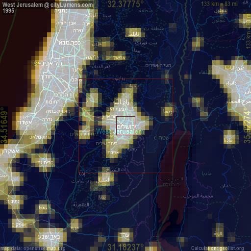
» NASA, Earths city lights 1995
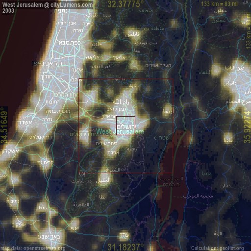
» NASA city lights 2003
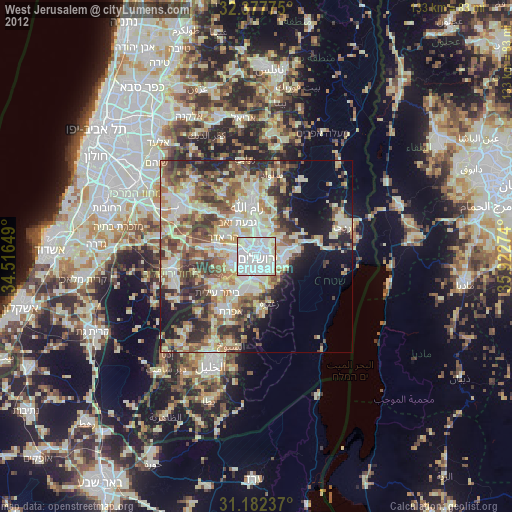
» Earth at Night: Flat Maps 2012, 2016