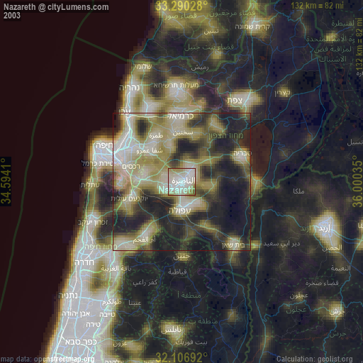
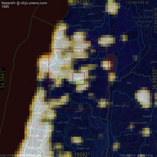
Nazareth night lights from space
Night Light of Nazareth (Northern District) from space (Israel) Src. Average luminocity for 10x10km area is 83.1906% and for 50x50km: 58.9303%.
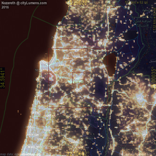
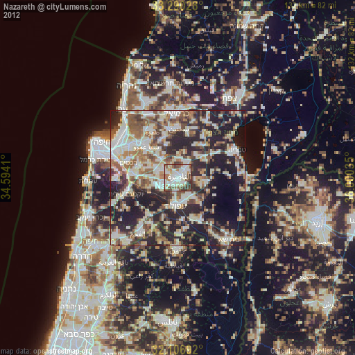
Analysis of Nazareth night lights 2016
Square area 10x10 km:
 22.2%
22.2%90-99
23.95%80-89
15.03%70-79
12.59%60-69
15.38%50-59
10.84%40-49
0%30-39
0%20-29
0%10-19
0%0-9
0%Square area 50x50 km:
7.95%90-99
9.56%80-89
13.33%70-79
9.77%60-69
9.78%50-59
9.08%40-49
10.86%30-39
11.35%20-29
9.85%10-19
5.3%0-9
3.18%Clear (daylight) street map image can be seen on geolist.org.
Map coordinates:
33° 17' 25" North, 34° 35' 38.8" East
32° 42' 2" North, 35° 17' 50" East
32° 6' 24.9" North, 36° 0' 1.3" East
Some cities around Nazareth sort by population:
• Afula
10.2 km =6.3 mi,  184°
184°
• Migdal Ha‘Emeq
6 km =3.7 mi,  243°
243°
• Kafr Kannā
6.6 km =4.1 mi,  39°
39°
• Er Reina
3.1 km =1.9 mi, 35°
• Iksāl
3.2 km =2 mi,  130°
130°
• Dabbūrīya
7 km =4.3 mi,  97°
97°
• Bīr el Maksūr
11.1 km =6.9 mi,  320°
320°
• Ramat Yishay
11.8 km =7.3 mi,  272°
272°
294098 (p: 64,800)
Sources (retrieved 2019-11-25):
» NASA, Earths city lights 1995
» NASA city lights 2003
» Earth at Night: Flat Maps 2012, 2016