Sungai Raya night lights from space
Night Light of Sungai Raya (West Kalimantan) from space (Indonesia) Src. Average luminocity for 10x10km area is 2.6537% and for 50x50km: 1.2837%.
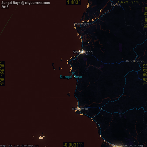

Analysis of Sungai Raya night lights 2016
Square area 10x10 km:
 0%
0%90-99
0%80-89
0.87%70-79
0.87%60-69
0.22%50-59
1.52%40-49
0%30-39
0%20-29
0%10-19
0%0-9
96.54%Square area 50x50 km:
0.03%90-99
0.14%80-89
0.22%70-79
0.29%60-69
0.32%50-59
0.29%40-49
0.03%30-39
0.19%20-29
0.19%10-19
0.16%0-9
98.13%Clear (daylight) street map image can be seen on geolist.org.
Map coordinates:
1° 24' 10.8" North, 108° 11' 48.8" East
0° 42' 0" North, 108° 54' 0" East
0° 0' 11.2" South, 109° 36' 11.3" East
Some cities around Sungai Raya sort by population:
• Kuching, MY
185.3 km =115.1 mi,  59°
59°
• Pontianak
94.1 km =58.5 mi,  149°
149°
• Sibu, MY
369.8 km =229.8 mi, 61°
• Singkawang
25.1 km =15.6 mi,  22°
22°
• Manggar
404.6 km =251.4 mi,  190°
190°
• Pemangkat
52.4 km =32.6 mi,  8°
8°
• Sarikei, MY
330.8 km =205.5 mi, 61°
• Simanggang, MY
290.2 km =180.3 mi,  77°
77°
1625908 (p: 47,735)
Sources (retrieved 2019-11-25):
» Earth at Night: Flat Maps 2012, 2016