Belawan night lights from space
Night Light of Belawan (North Sumatra) from space (Indonesia) Src. Average luminocity for 10x10km area is 53.3745% and for 50x50km: 27.6744%.
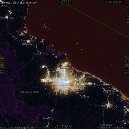
Analysis of Belawan night lights 2016
Square area 10x10 km:
 6.71%
6.71%90-99
9.52%80-89
3.68%70-79
7.14%60-69
12.55%50-59
20.78%40-49
5.84%30-39
5.19%20-29
10.39%10-19
17.1%0-9
1.08%Square area 50x50 km:
5.78%90-99
4.85%80-89
3.15%70-79
3.74%60-69
5.82%50-59
6%40-49
3.16%30-39
1.97%20-29
4.74%10-19
6.7%0-9
54.08%Clear (daylight) street map image can be seen on geolist.org.
Map coordinates:
4° 28' 36.5" North, 97° 58' 48.3" East
3° 46' 31.8" North, 98° 40' 59.5" East
3° 4' 25.1" North, 99° 23' 10.8" East
Some cities around Belawan sort by population:
• Medan
21.4 km =13.3 mi,  184°
184°
• Percut
26.1 km =16.2 mi,  129°
129°
• Binjai
29.4 km =18.3 mi,  228°
228°
• Sunggal
23.4 km =14.5 mi,  198°
198°
• Perbaungan
38.1 km =23.7 mi, 127°
• Labuhan Deli
5.4 km =3.4 mi,  191°
191°
• Deli Tua
29.8 km =18.5 mi, 179°
• Stabat
26.3 km =16.3 mi,  259°
259°
1215412 (p: 102,707)
Sources (retrieved 2019-11-25):
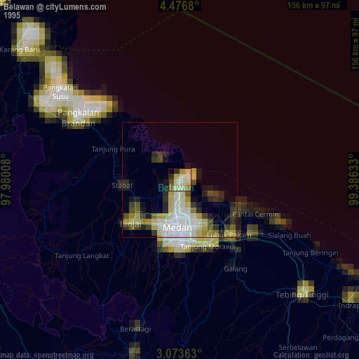
» NASA, Earths city lights 1995
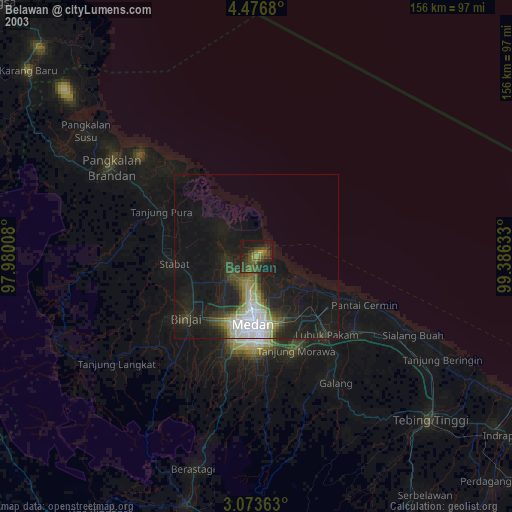
» NASA city lights 2003
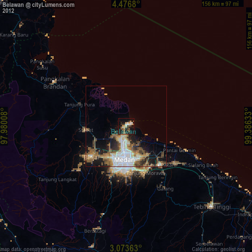
» Earth at Night: Flat Maps 2012, 2016