Pandeglang night lights from space
Night Light of Pandeglang (Banten) from space (Indonesia) Src. Average luminocity for 10x10km area is 16.2532% and for 50x50km: 8.5805%.
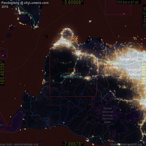
Analysis of Pandeglang night lights 2016
Square area 10x10 km:
 0%
0%90-99
0.87%80-89
0%70-79
0.87%60-69
3.25%50-59
9.96%40-49
1.52%30-39
4.76%20-29
7.14%10-19
2.81%0-9
68.83%Square area 50x50 km:
0.3%90-99
0.56%80-89
0.75%70-79
0.78%60-69
1.48%50-59
2%40-49
2.31%30-39
2.41%20-29
3.36%10-19
6.77%0-9
79.28%Clear (daylight) street map image can be seen on geolist.org.
Map coordinates:
5° 36' 32.7" South, 105° 24' 12.9" East
6° 18' 30.2" South, 106° 6' 24.1" East
7° 0' 24.4" South, 106° 48' 35.4" East
Some cities around Pandeglang sort by population:
• Curug
49.9 km =31 mi,  84°
84°
• Cikupa
45.1 km =28 mi, 79°
• Serang
22.1 km =13.7 mi,  13°
13°
• Pasarkemis
49.3 km =30.6 mi,  71°
71°
• Rangkasbitung
16.7 km =10.4 mi,  109°
109°
• Sepatan
55.9 km =34.7 mi, 67°
• Kresek
36 km =22.4 mi,  56°
56°
• Labuan
31.6 km =19.6 mi,  255°
255°
1632823 (p: 92,316)
Sources (retrieved 2019-11-25):
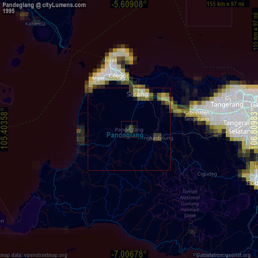
» NASA, Earths city lights 1995
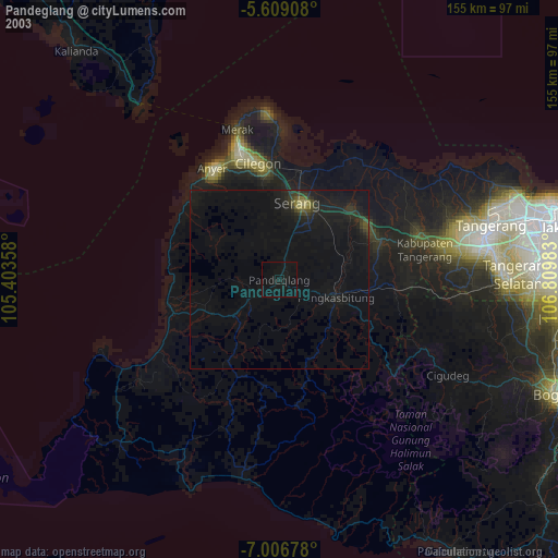
» NASA city lights 2003
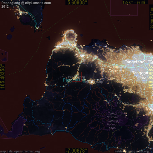
» Earth at Night: Flat Maps 2012, 2016