Tiszaújváros night lights from space
Night Light of Tiszaújváros (Borsod-Abaúj-Zemplén) from space (Hungary) Src. Average luminocity for 10x10km area is 18.7841% and for 50x50km: 3.6694%.
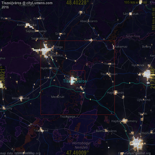
Analysis of Tiszaújváros night lights 2016
Square area 10x10 km:
 6.96%
6.96%90-99
4.69%80-89
0.57%70-79
0.71%60-69
0.99%50-59
1.42%40-49
0.28%30-39
2.41%20-29
0.99%10-19
14.49%0-9
66.48%Square area 50x50 km:
0.75%90-99
0.7%80-89
0.2%70-79
0.19%60-69
0.41%50-59
0.4%40-49
0.47%30-39
0.49%20-29
0.98%10-19
2.99%0-9
92.42%Clear (daylight) street map image can be seen on geolist.org.
Map coordinates:
48° 24' 8.2" North, 20° 22' 48.8" East
47° 55' 60" North, 21° 4' 60" East
47° 27' 36.3" North, 21° 47' 11.3" East
Some cities around Tiszaújváros sort by population:
• Miskolc
29 km =18 mi,  309°
309°
• Hajdúnánás
27.7 km =17.2 mi,  109°
109°
• Szerencs
26.9 km =16.7 mi,  20°
20°
• Polgár
7.8 km =4.8 mi,  161°
161°
• Felsőzsolca
24.6 km =15.3 mi,  318°
318°
• Mezőcsát
18 km =11.2 mi,  223°
223°
• Alsózsolca
21.4 km =13.3 mi, 315°
• Emőd
19.9 km =12.4 mi,  270°
270°
714697 (p: 17,295)
Sources (retrieved 2019-11-25):
» Earth at Night: Flat Maps 2012, 2016