Polgár night lights from space
Night Light of Polgár (Hajdú-Bihar) from space (Hungary) Src. Average luminocity for 10x10km area is 5.9006% and for 50x50km: 2.343%.
Analysis of Polgár night lights 2016
Square area 10x10 km:
 0.14%
0.14%90-99
0.28%80-89
1.56%70-79
0.57%60-69
0.57%50-59
0.57%40-49
0.85%30-39
0.43%20-29
0.85%10-19
6.68%0-9
87.5%Square area 50x50 km:
0.41%90-99
0.31%80-89
0.21%70-79
0.13%60-69
0.31%50-59
0.3%40-49
0.31%30-39
0.35%20-29
0.47%10-19
1.87%0-9
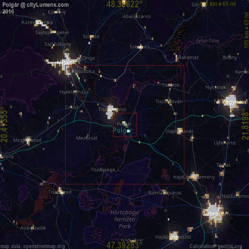
95.32%Clear (daylight) street map image can be seen on geolist.org.
Map coordinates:
48° 20' 10.4" North, 20° 24' 48.8" East
47° 52' 0" North, 21° 7' 0" East
47° 23' 34.2" North, 21° 49' 11.3" East
Some cities around Polgár sort by population:
• Hajdúnánás
23.7 km =14.7 mi,  94°
94°
• Tiszaújváros
7.8 km =4.8 mi,  341°
341°
• Tiszavasvári
20.6 km =12.8 mi,  57°
57°
• Mezőcsát
15.9 km =9.9 mi,  249°
249°
• Tiszalök
25.9 km =16.1 mi,  49°
49°
• Alsózsolca
28.6 km =17.8 mi,  322°
322°
• Tiszalúc
19.3 km =12 mi,  350°
350°
• Emőd
23.6 km =14.7 mi,  288°
288°
716356 (p: 8,347)
Sources (retrieved 2019-11-25):
» Earth at Night: Flat Maps 2012, 2016