Mohács night lights from space
Night Light of Mohács (Baranya) from space (Hungary) Src. Average luminocity for 10x10km area is 6.919% and for 50x50km: 1.6519%.
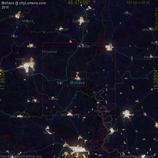
Analysis of Mohács night lights 2016
Square area 10x10 km:
 0.28%
0.28%90-99
0.43%80-89
1.28%70-79
0.85%60-69
0.57%50-59
2.98%40-49
1.56%30-39
1.7%20-29
0.57%10-19
0%0-9
89.77%Square area 50x50 km:
0.23%90-99
0.17%80-89
0.14%70-79
0.22%60-69
0.21%50-59
0.39%40-49
0.37%30-39
0.28%20-29
0.2%10-19
0.51%0-9
97.29%Clear (daylight) street map image can be seen on geolist.org.
Map coordinates:
46° 28' 35.6" North, 17° 58' 59.1" East
45° 59' 24.7" North, 18° 41' 10.4" East
45° 29' 58.3" North, 19° 23' 21.6" East
Some cities around Mohács sort by population:
• Pécs
36.5 km =22.7 mi,  286°
286°
• Baja
29.7 km =18.5 mi,  43°
43°
• Komló
39.5 km =24.5 mi,  304°
304°
• Bonyhád
36.4 km =22.6 mi,  340°
340°
• Siklós
33.6 km =20.9 mi,  243°
243°
• Beli Manastir, HR
25.3 km =15.7 mi,  194°
194°
• Bátaszék
22.8 km =14.2 mi,  7°
7°
• Stanišić, RS
37.6 km =23.4 mi,  98°
98°
3047967 (p: 18,711)
Sources (retrieved 2019-11-25):
» Earth at Night: Flat Maps 2012, 2016