Pápa night lights from space
Night Light of Pápa (Veszprém) from space (Hungary) Src. Average luminocity for 10x10km area is 13.3497% and for 50x50km: 1.3448%.
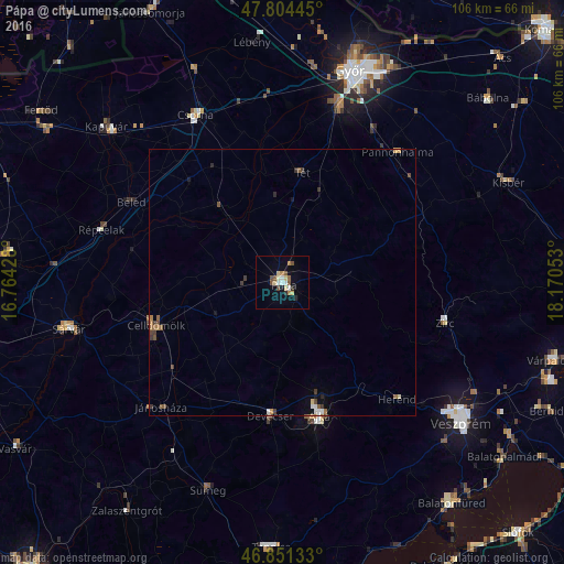
Analysis of Pápa night lights 2016
Square area 10x10 km:
100  1.64%
1.64%
90-99 1.79%
80-89 2.68%
70-79 0.6%
60-69 1.79%
50-59 2.68%
40-49 1.93%
30-39 0.3%
20-29 1.49%
10-19 2.23%
0-9 82.89%
1.64%90-99
1.79%80-89
2.68%70-79
0.6%60-69
1.79%50-59
2.68%40-49
1.93%30-39
0.3%20-29
1.49%10-19
2.23%0-9
82.89%Square area 50x50 km:
100 0.13%
90-99 0.15%
80-89 0.16%
70-79 0.08%
60-69 0.29%
50-59 0.23%
40-49 0.31%
30-39 0.27%
20-29 0.15%
10-19 0.2%
0-9 98.03%
0.13%90-99
0.15%80-89
0.16%70-79
0.08%60-69
0.29%50-59
0.23%40-49
0.31%30-39
0.27%20-29
0.15%10-19
0.2%0-9
98.03%Clear (daylight) street map image can be seen on geolist.org.
Map coordinates:
47° 48' 16" North, 16° 45' 51.4" East
47° 19' 48.1" North, 17° 28' 2.6" East
46° 51' 4.8" North, 18° 10' 13.9" East
Some cities around Pápa sort by population:
• Győr
41.3 km =25.7 mi,  17°
17°
• Ajka
26.3 km =16.3 mi,  164°
164°
• Sárvár
41 km =25.5 mi,  258°
258°
• Celldömölk
25.3 km =15.7 mi,  251°
251°
• Csorna
35.3 km =21.9 mi,  332°
332°
• Zirc
31.5 km =19.6 mi,  103°
103°
• Sümeg
41.7 km =25.9 mi,  199°
199°
• Devecser
25.3 km =15.7 mi,  185°
185°
3046686 (p: 32,990)
Sources (retrieved 2019-11-25):
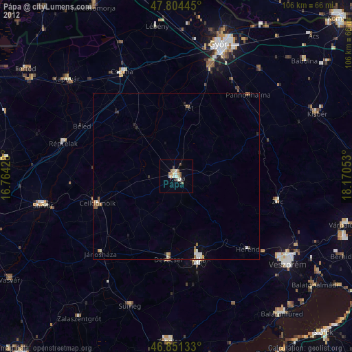
» Earth at Night: Flat Maps 2012, 2016