Gárdony night lights from space
Night Light of Gárdony (Fejér) from space (Hungary) Src. Average luminocity for 10x10km area is 11.3795% and for 50x50km: 6.612%.
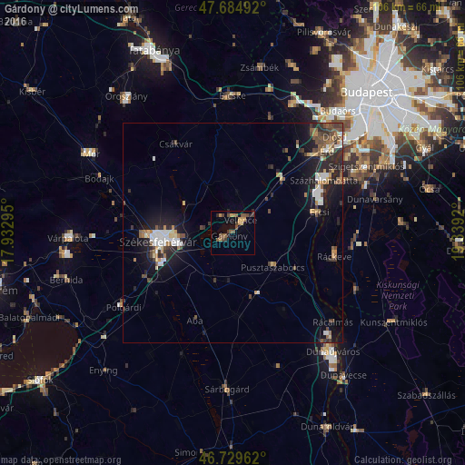
Analysis of Gárdony night lights 2016
Square area 10x10 km:
 0%
0%90-99
0%80-89
0.74%70-79
2.23%60-69
2.38%50-59
4.02%40-49
4.61%30-39
2.38%20-29
1.93%10-19
0.89%0-9
80.8%Square area 50x50 km:
0.8%90-99
0.98%80-89
0.56%70-79
0.63%60-69
0.81%50-59
0.95%40-49
1.46%30-39
0.93%20-29
2.32%10-19
5.13%0-9
85.43%Clear (daylight) street map image can be seen on geolist.org.
Map coordinates:
47° 41' 5.7" North, 17° 55' 58.6" East
47° 12' 33.9" North, 18° 38' 9.9" East
46° 43' 46.6" North, 19° 20' 21.1" East
Some cities around Gárdony sort by population:
• Székesfehérvár
17.2 km =10.7 mi,  262°
262°
• Százhalombatta
26.5 km =16.5 mi,  59°
59°
• Ráckeve
23.9 km =14.9 mi,  103°
103°
• Ercsi
20.2 km =12.6 mi,  76°
76°
• Tárnok
24.1 km =15 mi,  40°
40°
• Pusztaszabolcs
12.7 km =7.9 mi,  129°
129°
• Csákvár
24 km =14.9 mi,  327°
327°
• Martonvásár
16.6 km =10.3 mi, 44°
3052381 (p: 8,105)
Sources (retrieved 2019-11-25):
» Earth at Night: Flat Maps 2012, 2016