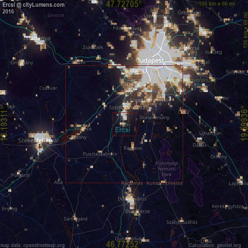
Ercsi night lights from space
Night Light of Ercsi (Fejér) from space (Hungary) Src. Average luminocity for 10x10km area is 15.0164% and for 50x50km: 14.8694%.
Analysis of Ercsi night lights 2016
Square area 10x10 km:
 3.13%
3.13%90-99
2.83%80-89
0%70-79
1.93%60-69
1.34%50-59
0.89%40-49
1.04%30-39
0.74%20-29
2.23%10-19
21.13%0-9
64.73%Square area 50x50 km:
3.88%90-99
3.06%80-89
0.96%70-79
1.5%60-69
1.62%50-59
2.02%40-49
2.73%30-39
2.09%20-29
2.97%10-19
4.89%0-9
74.28%Clear (daylight) street map image can be seen on geolist.org.
Map coordinates:
47° 43' 37.4" North, 18° 11' 35.2" East
47° 15' 7" North, 18° 53' 46.4" East
46° 46' 21.1" North, 19° 35' 57.7" East
Some cities around Ercsi sort by population:
• Százhalombatta
9.2 km =5.7 mi,  20°
20°
• Szigethalom
11.2 km =7 mi,  45°
45°
• Tököl
9.2 km =5.7 mi,  32°
32°
• Ráckeve
10.8 km =6.7 mi,  160°
160°
• Kiskunlacháza
11.1 km =6.9 mi,  129°
129°
• Halásztelek
13.8 km =8.6 mi, 27°
• Dunavarsány
13.2 km =8.2 mi,  76°
76°
• Martonvásár
10.7 km =6.6 mi,  311°
311°
3053283 (p: 8,383)
Sources (retrieved 2019-11-25):
» Earth at Night: Flat Maps 2012, 2016