Csongrád night lights from space
Night Light of Csongrád from space (Hungary) Src. Average luminocity for 10x10km area is 8.3735% and for 50x50km: 1.7852%.
Analysis of Csongrád night lights 2016
Square area 10x10 km:
 0.89%
0.89%90-99
1.79%80-89
0.3%70-79
0.74%60-69
1.04%50-59
1.19%40-49
2.98%30-39
0.6%20-29
0.6%10-19
1.19%0-9
88.69%Square area 50x50 km:
0.12%90-99
0.26%80-89
0.04%70-79
0.26%60-69
0.3%50-59
0.31%40-49
0.4%30-39
0.49%20-29
0.34%10-19
0.36%0-9
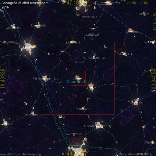
97.13%Clear (daylight) street map image can be seen on geolist.org.
Map coordinates:
47° 11' 35.7" North, 19° 26' 21.4" East
46° 42' 48" North, 20° 8' 32.7" East
46° 13' 44.7" North, 20° 50' 43.9" East
Some cities around Csongrád sort by population:
• Kiskunfélegyháza
22.7 km =14.1 mi,  269°
269°
• Szarvas
35.4 km =22 mi,  61°
61°
• Tiszaföldvár
31.1 km =19.3 mi,  15°
15°
• Tiszakécske
24.6 km =15.3 mi,  353°
353°
• Kunszentmárton
17.9 km =11.1 mi,  38°
38°
• Kistelek
29.5 km =18.3 mi,  204°
204°
• Mindszent
21.4 km =13.3 mi,  170°
170°
• Tiszaalpár
15.6 km =9.7 mi,  315°
315°
721592 (p: 18,580)
Sources (retrieved 2019-11-25):
» Earth at Night: Flat Maps 2012, 2016