Slavonski Brod night lights from space
Night Light of Slavonski Brod (Slavonski Brod-Posavina) from space (Croatia) Src. Average luminocity for 10x10km area is 50.7576% and for 50x50km: 4.479%.
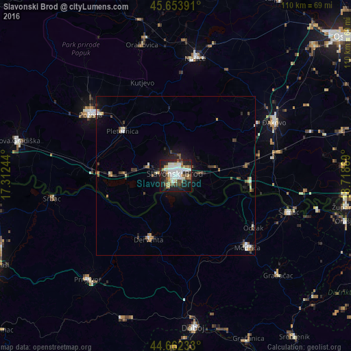

Analysis of Slavonski Brod night lights 2016
Square area 10x10 km:
 12.27%
90-99
13.79%80-89
4.85%70-79
4.39%60-69
4.39%50-59
4.39%40-49
7.42%30-39
3.64%20-29
15.61%10-19
26.36%0-9
2.88%Square area 50x50 km:
0.64%90-99
0.86%80-89
0.37%70-79
0.43%60-69
0.44%50-59
0.54%40-49
0.75%30-39
0.58%20-29
1.18%10-19
2.85%0-9
91.36%Clear (daylight) street map image can be seen on geolist.org.
Map coordinates:
45° 39' 14.1" North, 17° 18' 44.8" East
45° 9' 37" North, 18° 0' 56" East
44° 39' 44.4" North, 18° 43' 7.3" East
Some cities around Slavonski Brod sort by population:
• Požega
32.7 km =20.3 mi,  307°
307°
• Đakovo
35 km =21.7 mi,  61°
61°
• Odžak, BA
28.3 km =17.6 mi,  122°
122°
• Derventa, BA
21.9 km =13.6 mi,  202°
202°
• Brod, BA
3.4 km =2.1 mi,  221°
221°
• Našice
36.9 km =22.9 mi,  8°
8°
• Srbac, BA
39.2 km =24.4 mi,  259°
259°
• Kalenderovci Donji, BA
27.5 km =17.1 mi,  210°
210°
3190586 (p: 60,742)
Sources (retrieved 2019-11-25):
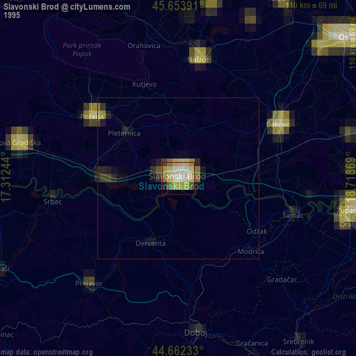
» NASA, Earths city lights 1995
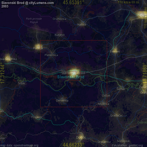
» NASA city lights 2003
» Earth at Night: Flat Maps 2012, 2016