Požega night lights from space
Night Light of Požega (Požeško-Slavonska) from space (Croatia) Src. Average luminocity for 10x10km area is 23.7825% and for 50x50km: 3.2811%.
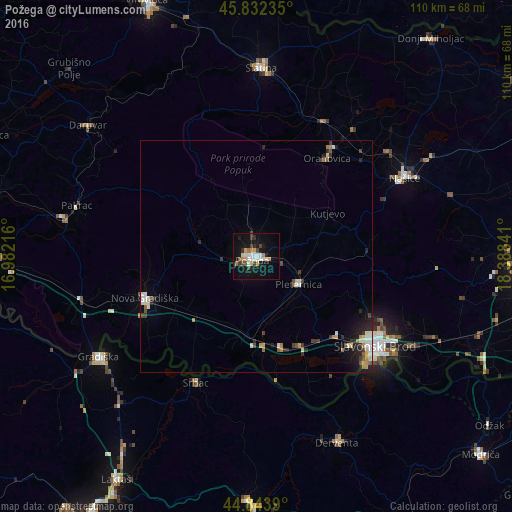
Analysis of Požega night lights 2016
Square area 10x10 km:
 4.44%
4.44%90-99
4.29%80-89
2.7%70-79
3.02%60-69
2.06%50-59
1.27%40-49
2.54%30-39
3.33%20-29
2.7%10-19
24.44%0-9
49.21%Square area 50x50 km:
0.47%90-99
0.64%80-89
0.29%70-79
0.39%60-69
0.33%50-59
0.24%40-49
0.44%30-39
0.53%20-29
0.77%10-19
2.03%0-9
93.87%Clear (daylight) street map image can be seen on geolist.org.
Map coordinates:
45° 49' 56.5" North, 16° 58' 55.8" East
45° 20' 25" North, 17° 41' 7" East
44° 50' 38" North, 18° 23' 18.3" East
Some cities around Požega sort by population:
• Slavonski Brod
32.7 km =20.3 mi,  127°
127°
• Gradiška, BA
40.1 km =24.9 mi,  237°
237°
• Nova Gradiška
25.5 km =15.8 mi,  248°
248°
• Slatina
40.4 km =25.1 mi,  1°
1°
• Derventa, BA
43.9 km =27.3 mi,  156°
156°
• Brod, BA
32.7 km =20.3 mi, 133°
• Našice
35.5 km =22.1 mi,  62°
62°
• Srbac, BA
29.8 km =18.5 mi,  205°
205°
3190589 (p: 21,153)
Sources (retrieved 2019-11-25):
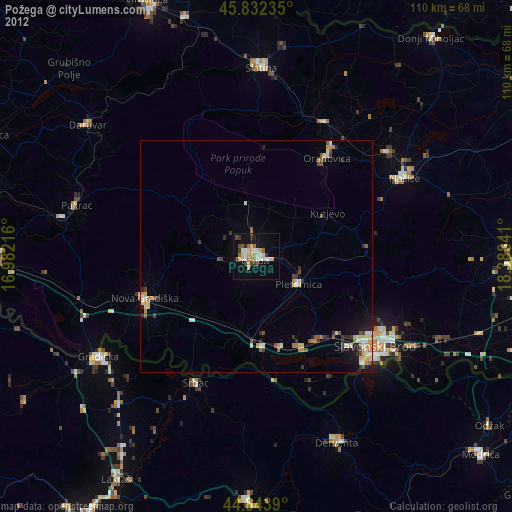
» Earth at Night: Flat Maps 2012, 2016