Néa Ionía night lights from space
Night Light of Néa Ionía (Thessaly) from space (Greece) Src. Average luminocity for 10x10km area is 54.0782% and for 50x50km: 8.1872%.
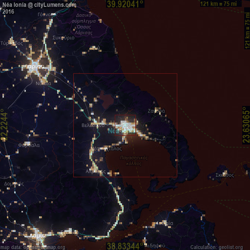
Analysis of Néa Ionía night lights 2016
Square area 10x10 km:
 11.05%
90-99
20.41%80-89
3.06%70-79
4.08%60-69
7.82%50-59
1.87%40-49
4.08%30-39
4.25%20-29
22.45%10-19
20.41%0-9
0.51%Square area 50x50 km:
0.51%90-99
1.58%80-89
0.97%70-79
0.93%60-69
1.34%50-59
0.72%40-49
0.77%30-39
1.25%20-29
2.2%10-19
7.66%0-9
82.07%Clear (daylight) street map image can be seen on geolist.org.
Map coordinates:
39° 55' 13.5" North, 22° 13' 27.8" East
39° 22' 44.5" North, 22° 55' 39.1" East
38° 50' 0.4" North, 23° 37' 50.3" East
Some cities around Néa Ionía sort by population:
• Lárisa
52.3 km =32.5 mi,  303°
303°
• Volos
2.4 km =1.5 mi,  147°
147°
• Fársala
47.6 km =29.6 mi,  258°
258°
• Almyrós
26.2 km =16.3 mi,  213°
213°
• Giánnouli
55.7 km =34.6 mi,  305°
305°
• Néa Anchiálos
14.5 km =9 mi,  220°
220°
• Agriá
8.5 km =5.3 mi,  120°
120°
• Skiáthos
54.2 km =33.7 mi, 116°
9034728 (p: 32,661)
Sources (retrieved 2019-11-25):
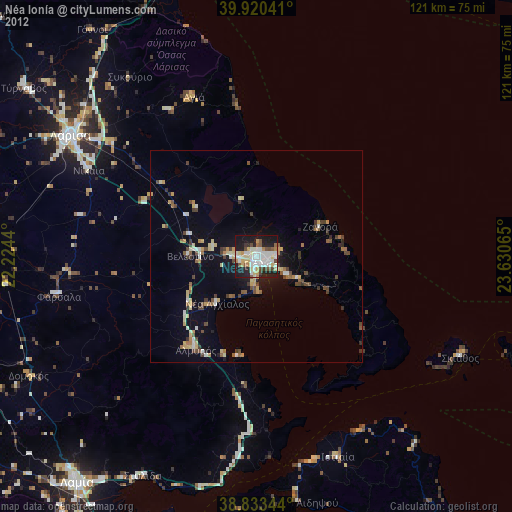
» Earth at Night: Flat Maps 2012, 2016