Thívai night lights from space
Night Light of Thívai (Central Greece) from space (Greece) Src. Average luminocity for 10x10km area is 30.6224% and for 50x50km: 8.5689%.
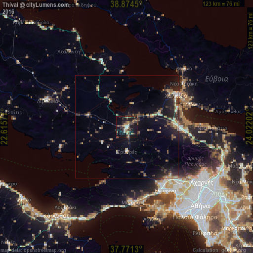
Analysis of Thívai night lights 2016
Square area 10x10 km:
 1.87%
1.87%90-99
3.23%80-89
5.27%70-79
2.55%60-69
5.78%50-59
3.74%40-49
5.44%30-39
7.48%20-29
5.44%10-19
42.35%0-9
16.84%Square area 50x50 km:
0.29%90-99
1.3%80-89
0.96%70-79
0.86%60-69
1.21%50-59
0.97%40-49
1.56%30-39
2.05%20-29
2.96%10-19
7.07%0-9
80.77%Clear (daylight) street map image can be seen on geolist.org.
Map coordinates:
38° 52' 28.2" North, 22° 36' 56.8" East
38° 19' 30" North, 23° 19' 8" East
37° 46' 16.7" North, 24° 1' 19.3" East
Some cities around Thívai sort by population:
• Chalkída
29.1 km =18.1 mi,  58°
58°
• Mándra
32.8 km =20.4 mi,  151°
151°
• Néa Artáki
34.9 km =21.7 mi,  51°
51°
• Néa Péramos
36.6 km =22.7 mi,  165°
165°
• Vasilikón
32.8 km =20.4 mi,  69°
69°
• Orchomenós
35 km =21.7 mi,  302°
302°
• Avlónas
33.9 km =21.1 mi,  103°
103°
• Dhrosiá
26.7 km =16.6 mi, 48°
252910 (p: 22,026)
Sources (retrieved 2019-11-25):
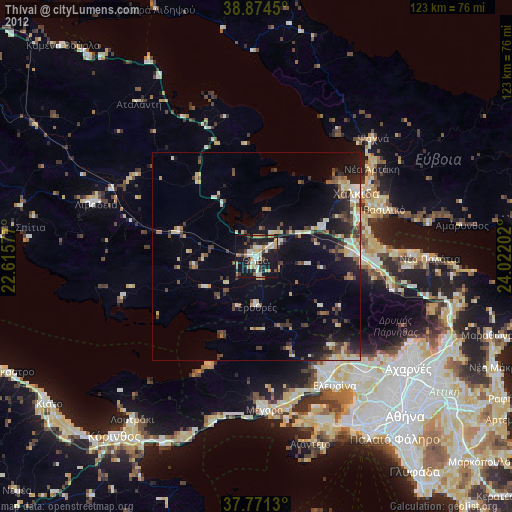
» Earth at Night: Flat Maps 2012, 2016