Ródos night lights from space
Night Light of Ródos (South Aegean) from space (Greece) Src. Average luminocity for 10x10km area is 39.2955% and for 50x50km: 6.7962%.
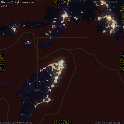
Analysis of Ródos night lights 2016
Square area 10x10 km:
 5.94%
5.94%90-99
11.19%80-89
6.82%70-79
4.37%60-69
4.2%50-59
1.05%40-49
2.62%30-39
2.45%20-29
12.24%10-19
28.32%0-9
20.8%Square area 50x50 km:
0.59%90-99
1.59%80-89
1.02%70-79
1.15%60-69
0.35%50-59
0.35%40-49
0.68%30-39
0.94%20-29
2.3%10-19
6.03%0-9
85.01%Clear (daylight) street map image can be seen on geolist.org.
Map coordinates:
36° 59' 57" North, 27° 31' 7.9" East
36° 26' 8" North, 28° 13' 19.2" East
35° 52' 4.2" North, 28° 55' 30.4" East
Some cities around Ródos sort by population:
• Marmaris, TR
46.9 km =29.1 mi,  5°
5°
• Dalaman, TR
63.5 km =39.5 mi,  54°
54°
• Sarigerme, TR
53.1 km =33 mi, 54°
• Ialysós
6.5 km =4 mi,  247°
247°
• Datça, TR
58.6 km =36.4 mi,  304°
304°
• Faliraki
10.8 km =6.7 mi,  190°
190°
• Afántou
16.7 km =10.4 mi,  198°
198°
• Archángelos
26.3 km =16.3 mi, 201°
400666 (p: 56,128)
Sources (retrieved 2019-11-25):
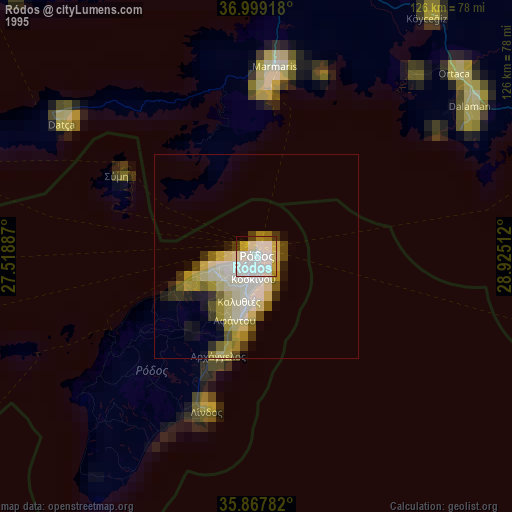
» NASA, Earths city lights 1995
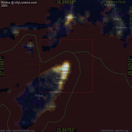
» NASA city lights 2003
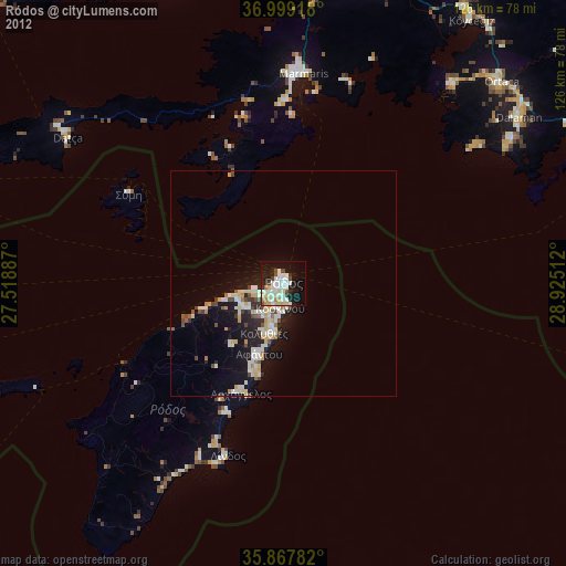
» Earth at Night: Flat Maps 2012, 2016