Árgos night lights from space
Night Light of Árgos (Peloponnese) from space (Greece) Src. Average luminocity for 10x10km area is 49.6582% and for 50x50km: 8.6522%.
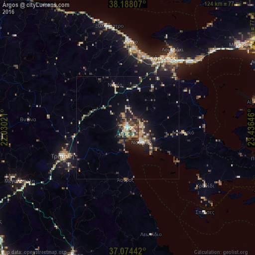
Analysis of Árgos night lights 2016
Square area 10x10 km:
 2.04%
2.04%90-99
6.63%80-89
9.35%70-79
9.01%60-69
10.88%50-59
4.25%40-49
18.54%30-39
9.52%20-29
16.33%10-19
13.1%0-9
0.34%Square area 50x50 km:
0.23%90-99
1.26%80-89
1.26%70-79
1.11%60-69
1.31%50-59
0.67%40-49
1.81%30-39
2.6%20-29
2.63%10-19
4.68%0-9
82.42%Clear (daylight) street map image can be seen on geolist.org.
Map coordinates:
38° 11' 17.1" North, 22° 1' 48.8" East
37° 37' 60" North, 22° 43' 60" East
37° 4' 27.9" North, 23° 26' 11.3" East
Some cities around Árgos sort by population:
• Kórinthos
39.1 km =24.3 mi,  29°
29°
• Trípoli
34.1 km =21.2 mi,  246°
246°
• Náfplio
9.7 km =6 mi,  137°
137°
• Loutráki
44 km =27.3 mi, 29°
• Kiáto
42.3 km =26.3 mi,  1°
1°
• Aegina
62.4 km =38.8 mi,  78°
78°
• Xylókastro
50.2 km =31.2 mi,  349°
349°
• Megalópoli
58.2 km =36.2 mi,  243°
243°
264670 (p: 22,209)
Sources (retrieved 2019-11-25):
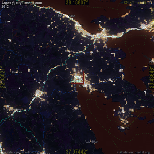
» Earth at Night: Flat Maps 2012, 2016