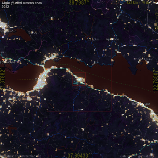
Aígio night lights from space
Night Light of Aígio (West Greece) from space (Greece) Src. Average luminocity for 10x10km area is 30.0629% and for 50x50km: 5.5807%.
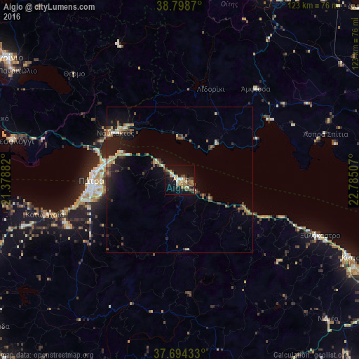
Analysis of Aígio night lights 2016
Square area 10x10 km:
 1.36%
1.36%90-99
4.93%80-89
2.38%70-79
6.46%60-69
6.97%50-59
4.59%40-49
2.89%30-39
4.25%20-29
5.44%10-19
35.54%0-9
25.17%Square area 50x50 km:
0.17%90-99
0.64%80-89
0.57%70-79
0.81%60-69
0.93%50-59
0.79%40-49
0.91%30-39
1.14%20-29
1.48%10-19
5.17%0-9
87.4%Clear (daylight) street map image can be seen on geolist.org.
Map coordinates:
38° 47' 55.3" North, 21° 22' 43.8" East
38° 14' 55" North, 22° 4' 55" East
37° 41' 39.6" North, 22° 47' 6.3" East
Some cities around Aígio sort by population:
• Pátra
30.3 km =18.8 mi,  269°
269°
• Náfpaktos
27.3 km =17 mi,  305°
305°
• Mesolóngi
58.4 km =36.3 mi,  283°
283°
• Ámfissa
40.3 km =25 mi,  39°
39°
• Paralía
33.6 km =20.9 mi,  260°
260°
• Ovriá
31.5 km =19.6 mi, 257°
• Káto Achaḯa
47.8 km =29.7 mi, 256°
• Xylókastro
51.7 km =32.1 mi,  111°
111°
265500 (p: 20,422)
Sources (retrieved 2019-11-25):
» Earth at Night: Flat Maps 2012, 2016