Serekunda night lights from space
Night Light of Serekunda (Banjul) from space (Gambia) Src. Average luminocity for 10x10km area is 59.0186% and for 50x50km: 5.579%.

Analysis of Serekunda night lights 2016
Square area 10x10 km:
 3.72%
3.72%90-99
12.19%80-89
9.5%70-79
19.63%60-69
11.57%50-59
6.2%40-49
7.44%30-39
5.79%20-29
14.05%10-19
9.92%0-9
0%Square area 50x50 km:
0.23%90-99
0.57%80-89
0.68%70-79
1.32%60-69
0.92%50-59
0.79%40-49
1.23%30-39
0.63%20-29
1.55%10-19
4.49%0-9
87.58%Clear (daylight) street map image can be seen on geolist.org.
Map coordinates:
14° 7' 16.4" North, 17° 22' 52.3" West
13° 26' 18" North, 16° 40' 41" West
12° 45' 12.6" North, 15° 58' 29.8" West
Some cities around Serekunda sort by population:
• Brikama
18.8 km =11.7 mi,  170°
170°
• Bakau
4.4 km =2.7 mi,  354°
354°
• Banjul
10.9 km =6.8 mi,  81°
81°
• Sukuta
4.5 km =2.8 mi,  226°
226°
• Gunjur
27 km =16.8 mi,  192°
192°
• Abuko
4.5 km =2.8 mi,  147°
147°
• Essau
16.3 km =10.1 mi,  71°
71°
• Barra
15.2 km =9.4 mi, 70°
2411989 (p: 340,000)
Sources (retrieved 2019-11-25):
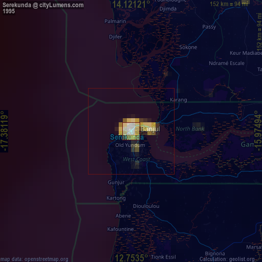
» NASA, Earths city lights 1995
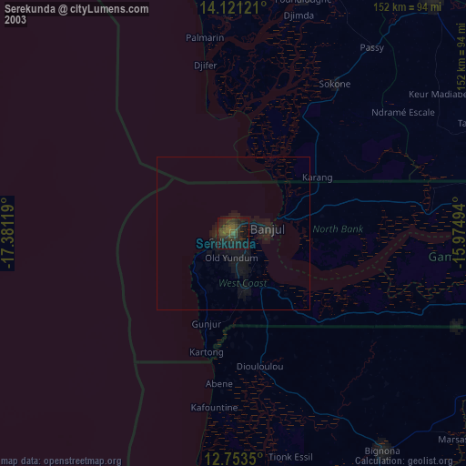
» NASA city lights 2003
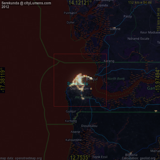
» Earth at Night: Flat Maps 2012, 2016