Saint Sampson night lights from space
Night Light of Saint Sampson (St Sampson) from space (Guernsey) Src. Average luminocity for 10x10km area is 3.2815% and for 50x50km: 0.1708%.
Analysis of Saint Sampson night lights 2016
Square area 10x10 km:
 0%
0%90-99
0.42%80-89
0.14%70-79
0.56%60-69
0.14%50-59
0.98%40-49
1.26%30-39
0.98%20-29
1.68%10-19
0%0-9
93.84%Square area 50x50 km:
0%90-99
0.04%80-89
0.01%70-79
0.02%60-69
0.01%50-59
0.04%40-49
0.05%30-39
0.06%20-29
0.07%10-19
0%0-9
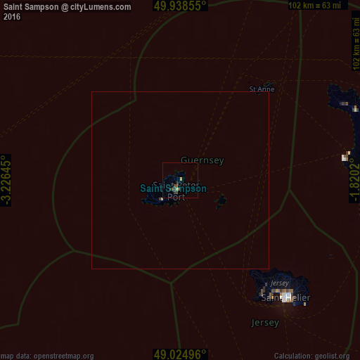
99.71%Clear (daylight) street map image can be seen on geolist.org.
Map coordinates:
49° 56' 18.8" North, 3° 13' 35.2" West
49° 29' 2" North, 2° 31' 24" West
49° 1' 29.9" North, 1° 49' 12.7" West
Some cities around Saint Sampson sort by population:
• Équeurdreville-Hainneville, FR
65.4 km =40.6 mi,  73°
73°
• Octeville, FR
65.4 km =40.6 mi,  76°
76°
• Querqueville, FR
63.2 km =39.3 mi, 71°
• Le Hocq, JE
48.5 km =30.1 mi,  136°
136°
• St Anne
34.4 km =21.4 mi,  41°
41°
• Torteval
10.7 km =6.6 mi,  238°
238°
• Castel
5.8 km =3.6 mi,  251°
251°
• St Martin
5.7 km =3.5 mi,  203°
203°
3042286 (p: 0)
Sources (retrieved 2019-11-25):
» Earth at Night: Flat Maps 2012, 2016