Castel night lights from space
Night Light of Castel from space (Guernsey) Src. Average luminocity for 10x10km area is 3.2311% and for 50x50km: 0.1708%.
Analysis of Castel night lights 2016
Square area 10x10 km:
 0%
0%90-99
0.98%80-89
0.14%70-79
0%60-69
0%50-59
0.56%40-49
1.26%30-39
1.54%20-29
1.68%10-19
0%0-9
93.84%Square area 50x50 km:
0%90-99
0.04%80-89
0.01%70-79
0.02%60-69
0.01%50-59
0.04%40-49
0.05%30-39
0.06%20-29
0.07%10-19
0%0-9
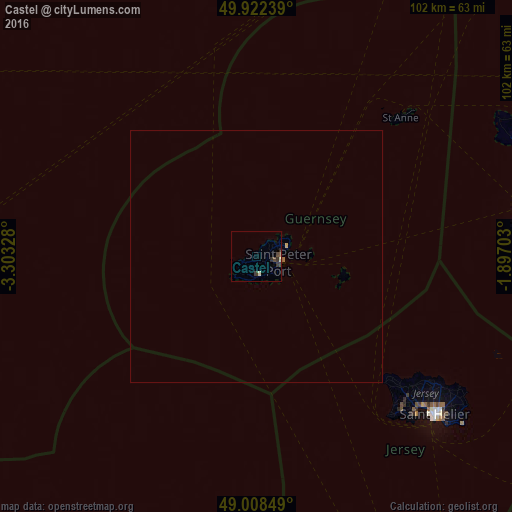
99.71%Clear (daylight) street map image can be seen on geolist.org.
Map coordinates:
49° 55' 20.6" North, 3° 18' 11.8" West
49° 28' 3.3" North, 2° 36' 0.5" West
49° 0' 30.6" North, 1° 53' 49.3" West
Some cities around Castel sort by population:
• Saint Helier, JE
47.5 km =29.5 mi,  130°
130°
• Saint Peter Port
4.8 km =3 mi,  100°
100°
• St Anne
39.5 km =24.5 mi,  45°
45°
• Saint Sampson
5.8 km =3.6 mi,  71°
71°
• Torteval
5.2 km =3.2 mi,  223°
223°
• St Martin
4.7 km =2.9 mi,  135°
135°
• Saint Andrew
3 km =1.9 mi,  151°
151°
• Saint Saviour
2.8 km =1.7 mi,  245°
245°
6692239 (p: 0)
Sources (retrieved 2019-11-25):
» Earth at Night: Flat Maps 2012, 2016