P’ot’i night lights from space
Night Light of P’ot’i (Samegrelo and Zemo Svaneti) from space (Georgia) Src. Average luminocity for 10x10km area is 24.3833% and for 50x50km: 1.3893%.
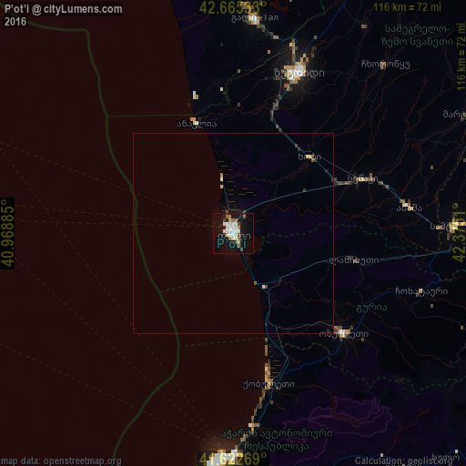
Analysis of P’ot’i night lights 2016
Square area 10x10 km:
 4.85%
4.85%90-99
6.06%80-89
2.27%70-79
0.76%60-69
3.94%50-59
1.52%40-49
3.33%30-39
0.3%20-29
0.45%10-19
28.33%0-9
48.18%Square area 50x50 km:
0.23%90-99
0.27%80-89
0.15%70-79
0.06%60-69
0.19%50-59
0.11%40-49
0.21%30-39
0.07%20-29
0.1%10-19
1.33%0-9
97.29%Clear (daylight) street map image can be seen on geolist.org.
Map coordinates:
42° 39' 55.2" North, 40° 58' 7.9" East
42° 8' 33.8" North, 41° 40' 25.8" East
41° 37' 21.7" North, 42° 22' 30.4" East
Some cities around P’ot’i sort by population:
• Zugdidi
43.8 km =27.2 mi,  21°
21°
• Senak’i
35.4 km =22 mi,  66°
66°
• Ozurgeti
36.7 km =22.8 mi,  131°
131°
• Kobuleti
36.8 km =22.9 mi,  166°
166°
• Gali
54.1 km =33.6 mi,  5°
5°
• Chakvi
46.7 km =29 mi, 174°
• Abasha
45.7 km =28.4 mi,  80°
80°
• Khobi
26.7 km =16.6 mi,  43°
43°
612366 (p: 47,149)
Sources (retrieved 2019-11-25):
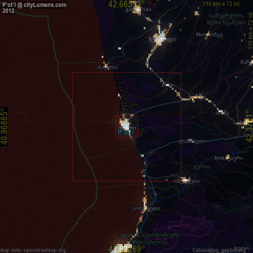
» Earth at Night: Flat Maps 2012, 2016