Khobi night lights from space
Night Light of Khobi (Samegrelo and Zemo Svaneti) from space (Georgia) Src. Average luminocity for 10x10km area is 2.4985% and for 50x50km: 3.0533%.
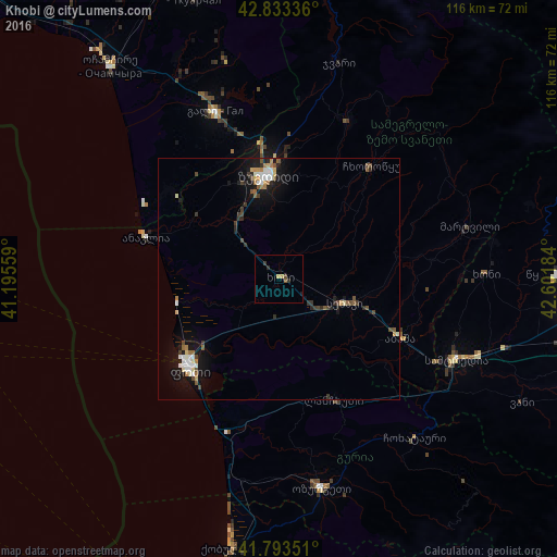
Analysis of Khobi night lights 2016
Square area 10x10 km:
 0%
0%90-99
0%80-89
0.61%70-79
0.61%60-69
0%50-59
0.61%40-49
0.61%30-39
0.61%20-29
1.21%10-19
0.61%0-9
95.15%Square area 50x50 km:
0.39%90-99
0.52%80-89
0.24%70-79
0.27%60-69
0.39%50-59
0.37%40-49
0.6%30-39
0.39%20-29
0.51%10-19
2.71%0-9
93.61%Clear (daylight) street map image can be seen on geolist.org.
Map coordinates:
42° 50' 0.1" North, 41° 11' 44.1" East
42° 18' 56.1" North, 41° 53' 55.4" East
41° 47' 36.6" North, 42° 36' 6.6" East
Some cities around Khobi sort by population:
• Zugdidi
21.6 km =13.4 mi,  353°
353°
• P’ot’i
26.7 km =16.6 mi,  223°
223°
• Samtredia
40.2 km =25 mi,  116°
116°
• Senak’i
14.8 km =9.2 mi,  109°
109°
• Gali
37 km =23 mi,  339°
339°
• Tsalenjikha
35 km =21.7 mi,  23°
23°
• Abasha
29 km =18 mi, 113°
• Mart’vili
41 km =25.5 mi,  74°
74°
613918 (p: 5,375)
Sources (retrieved 2019-11-25):
» Earth at Night: Flat Maps 2012, 2016