Akhaltsikhe night lights from space
Night Light of Akhaltsikhe (Samtskhe-Javakheti) from space (Georgia) Src. Average luminocity for 10x10km area is 6.7971% and for 50x50km: 0.5371%.
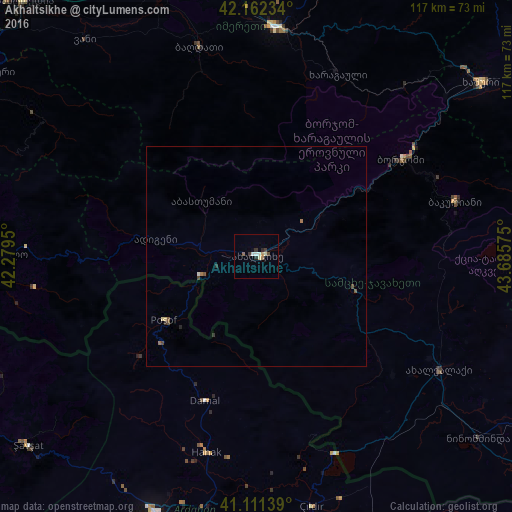
Analysis of Akhaltsikhe night lights 2016
Square area 10x10 km:
 0.65%
0.65%90-99
1.62%80-89
0.97%70-79
0.49%60-69
0.81%50-59
0.65%40-49
0.65%30-39
1.79%20-29
1.46%10-19
0.16%0-9
90.75%Square area 50x50 km:
0.05%90-99
0.07%80-89
0.09%70-79
0.02%60-69
0.09%50-59
0.12%40-49
0.14%30-39
0.12%20-29
0.11%10-19
0.01%0-9
99.2%Clear (daylight) street map image can be seen on geolist.org.
Map coordinates:
42° 9' 44.4" North, 42° 16' 46.2" East
41° 38' 20.4" North, 42° 58' 57.4" East
41° 6' 41" North, 43° 41' 8.7" East
Some cities around Akhaltsikhe sort by population:
• Khashuri
64.6 km =40.1 mi,  52°
52°
• Zestap’oni
52.7 km =32.7 mi,  6°
6°
• Ardahan, TR
63.4 km =39.4 mi,  201°
201°
• Borjomi
42.9 km =26.7 mi,  56°
56°
• Surami
63.9 km =39.7 mi, 47°
• Dioknisi
49.1 km =30.5 mi,  268°
268°
• Ninotsminda
65.6 km =40.8 mi,  129°
129°
• Hanak, TR
46.6 km =29 mi,  194°
194°
615860 (p: 17,298)
Sources (retrieved 2019-11-25):
» Earth at Night: Flat Maps 2012, 2016