Dioknisi night lights from space
Night Light of Dioknisi (Ajaria) from space (Georgia) Src. Average luminocity for 10x10km area is 0.6055% and for 50x50km: 0.16%.
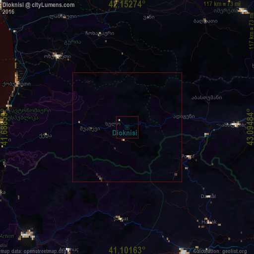
Analysis of Dioknisi night lights 2016
Square area 10x10 km:
 0%
0%90-99
0%80-89
0.65%70-79
0%60-69
0%50-59
0%40-49
0%30-39
0%20-29
0%10-19
0%0-9
99.35%Square area 50x50 km:
0%90-99
0%80-89
0.05%70-79
0.03%60-69
0%50-59
0.03%40-49
0%30-39
0.1%20-29
0.12%10-19
0.04%0-9
99.64%Clear (daylight) street map image can be seen on geolist.org.
Map coordinates:
42° 9' 9.9" North, 41° 41' 18.9" East
41° 37' 45.6" North, 42° 23' 30.2" East
41° 6' 5.9" North, 43° 5' 41.4" East
Some cities around Dioknisi sort by population:
• Samtredia
58.5 km =36.4 mi,  355°
355°
• Ozurgeti
45.8 km =28.5 mi,  315°
315°
• Kobuleti
55.1 km =34.2 mi,  292°
292°
• Akhaltsikhe
49.1 km =30.5 mi,  88°
88°
• Şavşat, TR
43.3 km =26.9 mi,  183°
183°
• Chakvi
55.8 km =34.7 mi,  281°
281°
• Ardanuç, TR
62.2 km =38.6 mi,  206°
206°
• Hanak, TR
57.8 km =35.9 mi,  139°
139°
614897 (p: 7,725)
Sources (retrieved 2019-11-25):
» Earth at Night: Flat Maps 2012, 2016