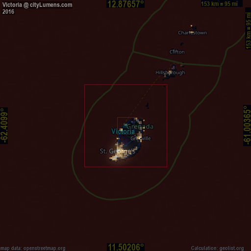
Victoria night lights from space
Night Light of Victoria (Saint Mark) from space (Grenada) Src. Average luminocity for 10x10km area is 3.0248% and for 50x50km: 3.2102%.
Analysis of Victoria night lights 2016
Square area 10x10 km:
 0%
0%90-99
0%80-89
0%70-79
0.83%60-69
0%50-59
0.41%40-49
1.24%30-39
1.65%20-29
1.65%10-19
0%0-9
94.21%Square area 50x50 km:
0.02%90-99
0.08%80-89
0.91%70-79
0.35%60-69
0.34%50-59
0.52%40-49
0.57%30-39
1.19%20-29
0.46%10-19
2.45%0-9
93.11%Clear (daylight) street map image can be seen on geolist.org.
Map coordinates:
12° 52' 35.7" North, 62° 24' 35.6" West
12° 11' 24.8" North, 61° 42' 24.4" West
11° 30' 7.4" North, 61° 0' 13.1" West
Some cities around Victoria sort by population:
• Kingstown, VC
119.2 km =74.1 mi,  25°
25°
• Saint George's
16.1 km =10 mi,  197°
197°
• Gouyave
3.8 km =2.4 mi,  221°
221°
• Grenville
11.6 km =7.2 mi,  130°
130°
• Saint David’s
16.2 km =10.1 mi,  165°
165°
• Sauteurs
8 km =5 mi,  66°
66°
• Hillsborough
42.4 km =26.3 mi,  39°
39°
• Port Elizabeth, VC
104.6 km =65 mi, 29°
3579833 (p: 2,256)
Sources (retrieved 2019-11-25):
» Earth at Night: Flat Maps 2012, 2016