Kingstown night lights from space
Night Light of Kingstown (Saint George) from space (Saint Vincent and the Grenadines) Src. Average luminocity for 10x10km area is 29.8009% and for 50x50km: 2.0467%.
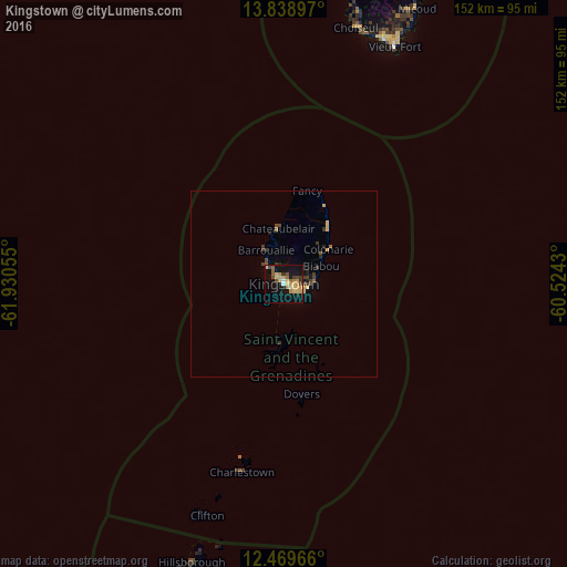
Analysis of Kingstown night lights 2016
Square area 10x10 km:
 0.65%
0.65%90-99
2.16%80-89
10.61%70-79
6.49%60-69
3.03%50-59
3.46%40-49
4.33%30-39
3.46%20-29
2.16%10-19
33.33%0-9
30.3%Square area 50x50 km:
0.03%90-99
0.08%80-89
0.56%70-79
0.37%60-69
0.18%50-59
0.22%40-49
0.4%30-39
0.55%20-29
0.25%10-19
1.61%0-9
95.76%Clear (daylight) street map image can be seen on geolist.org.
Map coordinates:
13° 50' 20.3" North, 61° 55' 50" West
13° 9' 19" North, 61° 13' 38.7" West
12° 28' 10.8" North, 60° 31' 27.5" West
Some cities around Kingstown sort by population:
• Vieux Fort, LC
69.3 km =43.1 mi,  25°
25°
• Georgetown
18.2 km =11.3 mi,  40°
40°
• Laborie, LC
71.2 km =44.2 mi,  21°
21°
• Barrouallie
10.3 km =6.4 mi,  331°
331°
• Port Elizabeth
16.1 km =10 mi,  183°
183°
• Chateaubelair
15.1 km =9.4 mi,  354°
354°
• Choiseul, LC
71.3 km =44.3 mi, 15°
• Layou
6.9 km =4.3 mi,  318°
318°
3577887 (p: 24,518)
Sources (retrieved 2019-11-25):
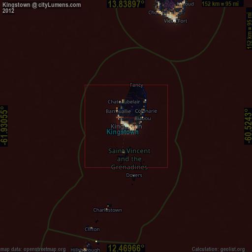
» Earth at Night: Flat Maps 2012, 2016