Port Elizabeth night lights from space
Night Light of Port Elizabeth (Grenadines) from space (Saint Vincent and the Grenadines) Src. Average luminocity for 10x10km area is 0.3615% and for 50x50km: 1.7858%.
Analysis of Port Elizabeth night lights 2016
Square area 10x10 km:
 0%
0%90-99
0%80-89
0%70-79
0%60-69
0%50-59
0%40-49
0%30-39
0.87%20-29
0%10-19
0%0-9
99.13%Square area 50x50 km:
0.03%90-99
0.08%80-89
0.47%70-79
0.32%60-69
0.12%50-59
0.21%40-49
0.34%30-39
0.45%20-29
0.2%10-19
1.61%0-9
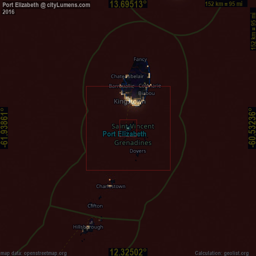
96.18%Clear (daylight) street map image can be seen on geolist.org.
Map coordinates:
13° 41' 42.5" North, 61° 56' 19" West
13° 0' 39.7" North, 61° 14' 7.7" West
12° 19' 30.1" North, 60° 31' 56.5" West
Some cities around Port Elizabeth sort by population:
• Kingstown
16.1 km =10 mi,  3°
3°
• Kingstown Park
16.5 km =10.3 mi, 1°
• Vieux Fort, LC
84.3 km =52.4 mi,  21°
21°
• Georgetown
32.5 km =20.2 mi, 22°
• Hillsborough, GD
63.4 km =39.4 mi,  202°
202°
• Barrouallie
25.4 km =15.8 mi,  350°
350°
• Chateaubelair
31.1 km =19.3 mi,  359°
359°
• Layou
21.5 km =13.4 mi, 349°
3577844 (p: 839)
Sources (retrieved 2019-11-25):
» Earth at Night: Flat Maps 2012, 2016