Saint David’s night lights from space
Night Light of Saint David’s (Saint David) from space (Grenada) Src. Average luminocity for 10x10km area is 13.0661% and for 50x50km: 3.221%.
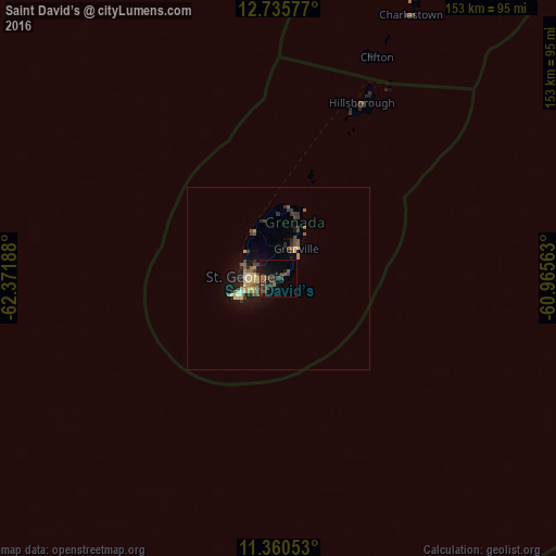
Analysis of Saint David’s night lights 2016
Square area 10x10 km:
 0%
0%90-99
0%80-89
0%70-79
0%60-69
2.27%50-59
2.27%40-49
5.17%30-39
9.5%20-29
2.27%10-19
15.5%0-9
63.02%Square area 50x50 km:
0.02%90-99
0.08%80-89
0.91%70-79
0.35%60-69
0.34%50-59
0.52%40-49
0.57%30-39
1.19%20-29
0.46%10-19
2.45%0-9
93.11%Clear (daylight) street map image can be seen on geolist.org.
Map coordinates:
12° 44' 8.8" North, 62° 22' 18.8" West
12° 2' 56.5" North, 61° 40' 7.5" West
11° 21' 37.9" North, 60° 57' 56.3" West
Some cities around Saint David’s sort by population:
• Kingstown, VC
132 km =82 mi,  21°
21°
• Kingstown Park, VC
132.2 km =82.1 mi, 21°
• Gouyave
14.5 km =9 mi,  332°
332°
• Grenville
9.5 km =5.9 mi,  30°
30°
• Victoria
16.2 km =10.1 mi,  345°
345°
• Sauteurs
19.1 km =11.9 mi,  9°
9°
• Hillsborough
53.5 km =33.2 mi, 25°
• Port Elizabeth, VC
116.8 km =72.6 mi, 23°
3579931 (p: 1,321)
Sources (retrieved 2019-11-25):
» Earth at Night: Flat Maps 2012, 2016