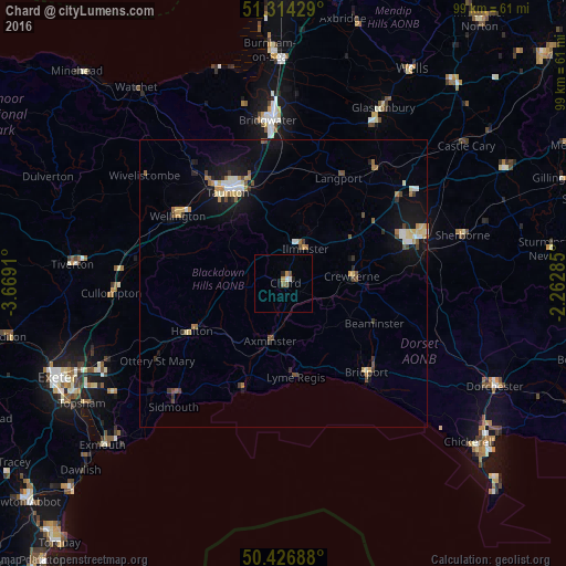
Chard night lights from space
Night Light of Chard (England) from space (United Kingdom) Src. Average luminocity for 10x10km area is 3.8417% and for 50x50km: 3.3418%.
Analysis of Chard night lights 2016
Square area 10x10 km:
 0.7%
0.7%90-99
0.42%80-89
0%70-79
1.12%60-69
0%50-59
1.26%40-49
0.42%30-39
0%20-29
0.56%10-19
0.56%0-9
94.96%Square area 50x50 km:
0.37%90-99
0.45%80-89
0.47%70-79
0.41%60-69
0.41%50-59
0.37%40-49
0.55%30-39
0.29%20-29
0.41%10-19
2.82%0-9
93.45%Clear (daylight) street map image can be seen on geolist.org.
Map coordinates:
51° 18' 51.4" North, 3° 40' 8.8" West
50° 52' 21.7" North, 2° 57' 57.5" West
50° 25' 36.8" North, 2° 15' 46.3" West
Some cities around Chard sort by population:
• Taunton
18.5 km =11.5 mi,  328°
328°
• Yeovil
24.6 km =15.3 mi,  71°
71°
• Bridport
21.2 km =13.2 mi,  136°
136°
• Sidmouth
27.9 km =17.3 mi,  223°
223°
• Honiton
17.6 km =10.9 mi,  242°
242°
• Crewkerne
12 km =7.5 mi,  84°
84°
• Ilminster
7.2 km =4.5 mi,  33°
33°
• Axminster
10.3 km =6.4 mi,  192°
192°
2653346 (p: 13,074)
Sources (retrieved 2019-11-25):
» Earth at Night: Flat Maps 2012, 2016