Whitehaven night lights from space
Night Light of Whitehaven (England) from space (United Kingdom) Src. Average luminocity for 10x10km area is 9.1639% and for 50x50km: 1.4947%.
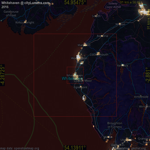
Analysis of Whitehaven night lights 2016
Square area 10x10 km:
 0%
0%90-99
0.48%80-89
0%70-79
1.2%60-69
1.91%50-59
2.15%40-49
3.11%30-39
3.11%20-29
1.67%10-19
0.36%0-9
86%Square area 50x50 km:
0.11%90-99
0.14%80-89
0.14%70-79
0.23%60-69
0.18%50-59
0.27%40-49
0.32%30-39
0.27%20-29
0.24%10-19
0.61%0-9
97.48%Clear (daylight) street map image can be seen on geolist.org.
Map coordinates:
54° 57' 17.1" North, 4° 17' 14.1" West
54° 32' 56.3" North, 3° 35' 2.8" West
54° 8' 20.8" North, 2° 52' 51.6" West
Some cities around Whitehaven sort by population:
• Workington
10.7 km =6.6 mi,  13°
13°
• Maryport
19.3 km =12 mi,  17°
17°
• Cockermouth
19.1 km =11.9 mi,  48°
48°
• Windermere
47.6 km =29.6 mi,  113°
113°
• Cleator Moor
5.4 km =3.4 mi,  124°
124°
• Egremont
8.6 km =5.3 mi,  154°
154°
• Millom
42.7 km =26.5 mi, 151°
• Wigton
41 km =25.5 mi,  41°
41°
2634096 (p: 24,900)
Sources (retrieved 2019-11-25):
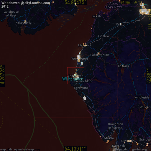
» Earth at Night: Flat Maps 2012, 2016