Prestonpans night lights from space
Night Light of Prestonpans (Scotland) from space (United Kingdom) Src. Average luminocity for 10x10km area is 17.9799% and for 50x50km: 11.7011%.
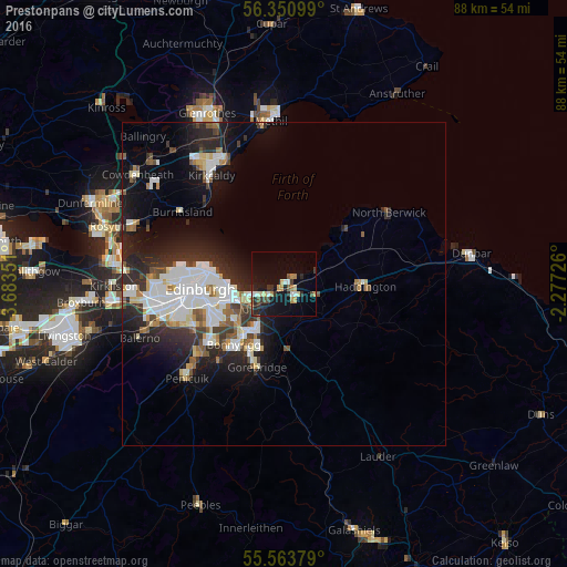
Analysis of Prestonpans night lights 2016
Square area 10x10 km:
 1.88%
1.88%90-99
2.01%80-89
2.38%70-79
2.63%60-69
2.01%50-59
1.13%40-49
2.26%30-39
2.88%20-29
6.02%10-19
17.67%0-9
59.15%Square area 50x50 km:
2.64%90-99
2.81%80-89
0.99%70-79
0.75%60-69
0.94%50-59
1.01%40-49
1.13%30-39
1.62%20-29
4.26%10-19
6.81%0-9
77.04%Clear (daylight) street map image can be seen on geolist.org.
Map coordinates:
56° 21' 3.6" North, 3° 41' 0.6" West
55° 57' 33.8" North, 2° 58' 49.4" West
55° 33' 49.6" North, 2° 16' 38.1" West
Some cities around Prestonpans sort by population:
• Musselburgh
4.8 km =3 mi,  245°
245°
• Bonnyrigg
12.3 km =7.6 mi,  219°
219°
• Mayfield
10.4 km =6.5 mi,  200°
200°
• Dalkeith
9.2 km =5.7 mi, 216°
• Tranent
2.3 km =1.4 mi,  135°
135°
• Haddington
12.3 km =7.6 mi,  91°
91°
• Gorebridge
13.3 km =8.3 mi, 197°
• Cockenzie
1.3 km =0.8 mi,  43°
43°
2639902 (p: 9,490)
Sources (retrieved 2019-11-25):
» Earth at Night: Flat Maps 2012, 2016