Northam night lights from space
Night Light of Northam (England) from space (United Kingdom) Src. Average luminocity for 10x10km area is 11.5963% and for 50x50km: 1.4219%.
Analysis of Northam night lights 2016
Square area 10x10 km:
 0.27%
0.27%90-99
0.53%80-89
2.01%70-79
1.07%60-69
1.87%50-59
2.81%40-49
3.07%30-39
2.27%20-29
1.6%10-19
1.87%0-9
82.62%Square area 50x50 km:
0.12%90-99
0.13%80-89
0.16%70-79
0.12%60-69
0.21%50-59
0.32%40-49
0.24%30-39
0.29%20-29
0.22%10-19
0.22%0-9
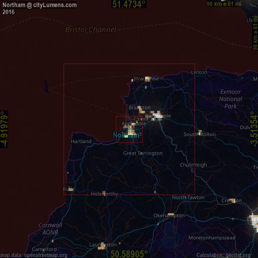
97.97%Clear (daylight) street map image can be seen on geolist.org.
Map coordinates:
51° 28' 24.2" North, 4° 55' 11.2" West
51° 1' 60" North, 4° 13' 0" West
50° 35' 20.6" North, 3° 30' 48.7" West
Some cities around Northam sort by population:
• Barnstaple
12.2 km =7.6 mi,  64°
64°
• Bideford
1.9 km =1.2 mi,  162°
162°
• Ilfracombe
20.9 km =13 mi,  20°
20°
• Braunton
9.2 km =5.7 mi, 24°
• Okehampton
36.1 km =22.4 mi, 155°
• Bude
32.5 km =20.2 mi,  224°
224°
• Great Torrington
10.3 km =6.4 mi,  150°
150°
• South Molton
26.9 km =16.7 mi,  93°
93°
2641434 (p: 7,668)
Sources (retrieved 2019-11-25):
» Earth at Night: Flat Maps 2012, 2016