Barnstaple night lights from space
Night Light of Barnstaple (England) from space (United Kingdom) Src. Average luminocity for 10x10km area is 12.9666% and for 50x50km: 1.3959%.

Analysis of Barnstaple night lights 2016
Square area 10x10 km:
 2.67%
2.67%90-99
2.14%80-89
0.53%70-79
0.53%60-69
0.94%50-59
2.27%40-49
1.07%30-39
2.94%20-29
1.74%10-19
2.94%0-9
82.22%Square area 50x50 km:
0.12%90-99
0.13%80-89
0.18%70-79
0.12%60-69
0.21%50-59
0.32%40-49
0.18%30-39
0.25%20-29
0.23%10-19
0.22%0-9
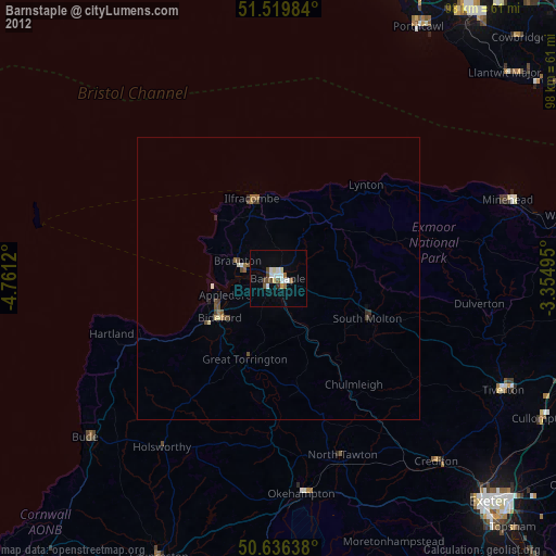
98.05%Clear (daylight) street map image can be seen on geolist.org.
Map coordinates:
51° 31' 11.4" North, 4° 45' 40.3" West
51° 4' 48.8" North, 4° 3' 29.1" West
50° 38' 11" North, 3° 21' 17.8" West
Some cities around Barnstaple sort by population:
• Bideford
12.7 km =7.9 mi,  236°
236°
• Minehead
42.4 km =26.3 mi,  70°
70°
• Ilfracombe
14.9 km =9.3 mi,  344°
344°
• Braunton
7.9 km =4.9 mi,  293°
293°
• Northam
12.2 km =7.6 mi, 244°
• Okehampton
38.2 km =23.7 mi,  174°
174°
• Great Torrington
15.4 km =9.6 mi,  203°
203°
• South Molton
17.2 km =10.7 mi,  114°
114°
2656281 (p: 31,616)
Sources (retrieved 2019-11-25):
» Earth at Night: Flat Maps 2012, 2016