Bude night lights from space
Night Light of Bude (England) from space (United Kingdom) Src. Average luminocity for 10x10km area is 1.0882% and for 50x50km: 0.6104%.
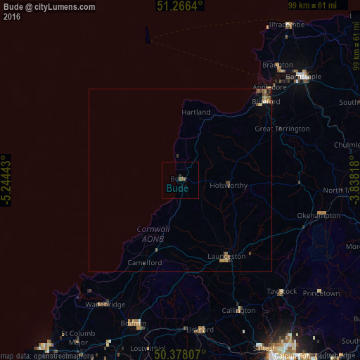
Analysis of Bude night lights 2016
Square area 10x10 km:
 0%
0%90-99
0%80-89
0%70-79
0%60-69
0%50-59
1.12%40-49
0.56%30-39
0.14%20-29
0.42%10-19
0%0-9
97.76%Square area 50x50 km:
0.01%90-99
0.02%80-89
0.11%70-79
0.08%60-69
0.08%50-59
0.23%40-49
0.2%30-39
0.13%20-29
0.09%10-19
0.05%0-9
98.99%Clear (daylight) street map image can be seen on geolist.org.
Map coordinates:
51° 15' 59" North, 5° 14' 39.9" West
50° 49' 27.7" North, 4° 32' 28.7" West
50° 22' 41.1" North, 3° 50' 17.4" West
Some cities around Bude sort by population:
• Bideford
31.7 km =19.7 mi,  47°
47°
• Braunton
41.3 km =25.7 mi,  40°
40°
• Launceston
24.4 km =15.2 mi,  148°
148°
• Northam
32.5 km =20.2 mi, 44°
• Okehampton
39.1 km =24.3 mi,  104°
104°
• Wadebridge
40 km =24.9 mi,  211°
211°
• Callington
39.3 km =24.4 mi,  155°
155°
• Great Torrington
31.3 km =19.4 mi,  62°
62°
2654380 (p: 7,011)
Sources (retrieved 2019-11-25):
» Earth at Night: Flat Maps 2012, 2016