Letchworth Garden City night lights from space
Night Light of Letchworth Garden City (England) from space (United Kingdom) Src. Average luminocity for 10x10km area is 23.4861% and for 50x50km: 15.3177%.
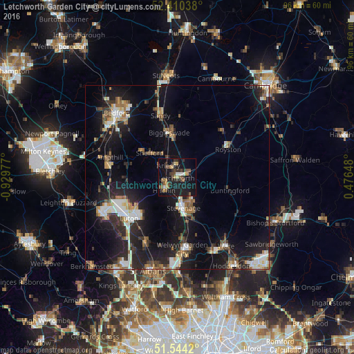
Analysis of Letchworth Garden City night lights 2016
Square area 10x10 km:
 1.39%
1.39%90-99
1.14%80-89
3.16%70-79
2.27%60-69
2.4%50-59
3.91%40-49
5.81%30-39
6.82%20-29
4.17%10-19
37.25%0-9
31.69%Square area 50x50 km:
2.05%90-99
2.45%80-89
1.47%70-79
1.39%60-69
1.69%50-59
1.94%40-49
1.94%30-39
2.5%20-29
5.27%10-19
14.75%0-9
64.55%Clear (daylight) street map image can be seen on geolist.org.
Map coordinates:
52° 24' 37.4" North, 0° 55' 47.2" West
51° 58' 45.8" North, 0° 13' 35.9" West
51° 32' 39.1" North, 0° 28' 35.3" East
Some cities around Letchworth Garden City sort by population:
• Stevenage
8.7 km =5.4 mi,  169°
169°
• Hitchin
5.2 km =3.2 mi,  230°
230°
• Biggleswade
12.2 km =7.6 mi,  347°
347°
• Henlow
7 km =4.3 mi,  324°
324°
• Shefford
9.9 km =6.2 mi,  311°
311°
• Baldock
2.8 km =1.7 mi,  70°
70°
• Stotfold
4.1 km =2.5 mi, 354°
• Arlesey
4.1 km =2.5 mi, 319°
8224216 (p: 43,529)
Sources (retrieved 2019-11-25):
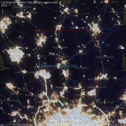
» Earth at Night: Flat Maps 2012, 2016