Villeneuve-sur-Yonne night lights from space
Night Light of Villeneuve-sur-Yonne (Bourgogne-Franche-Comté) from space (France) Src. Average luminocity for 10x10km area is 3.5045% and for 50x50km: 3.294%.
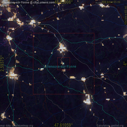
Analysis of Villeneuve-sur-Yonne night lights 2016
Square area 10x10 km:
 0%
0%90-99
0.6%80-89
0%70-79
0%60-69
0.74%50-59
1.64%40-49
0%30-39
1.04%20-29
0.15%10-19
0%0-9
95.83%Square area 50x50 km:
0.51%90-99
0.43%80-89
0.43%70-79
0.43%60-69
0.36%50-59
0.44%40-49
0.29%30-39
0.2%20-29
0.4%10-19
2.34%0-9
94.16%Clear (daylight) street map image can be seen on geolist.org.
Map coordinates:
48° 33' 0.2" North, 2° 35' 37.5" East
48° 4' 56.9" North, 3° 17' 48.8" East
47° 36' 38.1" North, 4° 0' 0" East
Some cities around Villeneuve-sur-Yonne sort by population:
• Auxerre
37.5 km =23.3 mi,  147°
147°
• Sens
12.8 km =8 mi,  355°
355°
• Montereau-Fault-Yonne
42.2 km =26.2 mi,  322°
322°
• Amilly
40.9 km =25.4 mi,  252°
252°
• Joigny
13.5 km =8.4 mi, 145°
• Migennes
21 km =13 mi,  128°
128°
• Saint-Florentin
33.1 km =20.6 mi,  105°
105°
• Monéteau
33.5 km =20.8 mi,  140°
140°
2968511 (p: 5,627)
Sources (retrieved 2019-11-25):
» Earth at Night: Flat Maps 2012, 2016