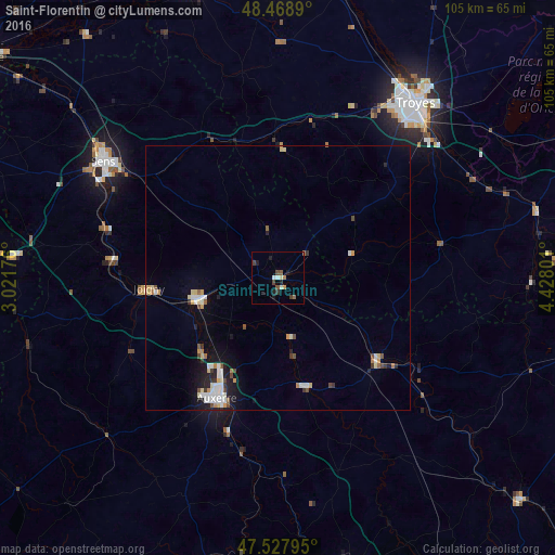
Saint-Florentin night lights from space
Night Light of Saint-Florentin (Bourgogne-Franche-Comté) from space (France) Src. Average luminocity for 10x10km area is 7.0753% and for 50x50km: 3.2634%.
Analysis of Saint-Florentin night lights 2016
Square area 10x10 km:
 0.71%
0.71%90-99
0.99%80-89
0.57%70-79
0.57%60-69
0.85%50-59
1.7%40-49
1.99%30-39
0.71%20-29
1.14%10-19
2.56%0-9
88.21%Square area 50x50 km:
0.53%90-99
0.58%80-89
0.46%70-79
0.33%60-69
0.31%50-59
0.25%40-49
0.46%30-39
0.33%20-29
0.43%10-19
1.82%0-9
94.5%Clear (daylight) street map image can be seen on geolist.org.
Map coordinates:
48° 28' 8" North, 3° 1' 18.3" East
48° 0' 2.1" North, 3° 43' 29.6" East
47° 31' 40.6" North, 4° 25' 40.8" East
Some cities around Saint-Florentin sort by population:
• Auxerre
25.1 km =15.6 mi,  207°
207°
• Sens
39.4 km =24.5 mi,  303°
303°
• La Chapelle-Saint-Luc
42.3 km =26.3 mi,  33°
33°
• Joigny
24.2 km =15 mi,  265°
265°
• Migennes
15.9 km =9.9 mi,  255°
255°
• Villeneuve-sur-Yonne
33.1 km =20.6 mi,  285°
285°
• Tonnerre
24.5 km =15.2 mi,  130°
130°
• Monéteau
19.9 km =12.4 mi, 212°
2980111 (p: 5,994)
Sources (retrieved 2019-11-25):
» Earth at Night: Flat Maps 2012, 2016