Vandœuvre-lès-Nancy night lights from space
Night Light of Vandœuvre-lès-Nancy (Grand Est) from space (France) Src. Average luminocity for 10x10km area is 74.1756% and for 50x50km: 12.0688%.
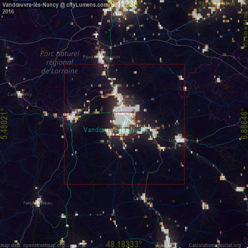
Analysis of Vandœuvre-lès-Nancy night lights 2016
Square area 10x10 km:
 31.4%
31.4%90-99
23.96%80-89
2.08%70-79
2.98%60-69
5.06%50-59
4.32%40-49
7.29%30-39
12.5%20-29
9.38%10-19
1.04%0-9
0%Square area 50x50 km:
2.84%90-99
2.84%80-89
0.63%70-79
0.76%60-69
0.85%50-59
1.03%40-49
1.03%30-39
1.87%20-29
3.39%10-19
9.76%0-9
74.99%Clear (daylight) street map image can be seen on geolist.org.
Map coordinates:
49° 6' 44.6" North, 5° 28' 48.8" East
48° 39' 0" North, 6° 10' 60" East
48° 10' 60" North, 6° 53' 11.3" East
Some cities around Vandœuvre-lès-Nancy sort by population:
• Nancy
3.8 km =2.4 mi,  1°
1°
• Laxou
4.5 km =2.8 mi,  326°
326°
• Villers-lès-Nancy
3.4 km =2.1 mi,  319°
319°
• Jarville-la-Malgrange
2.4 km =1.5 mi,  37°
37°
• Tomblaine
4.5 km =2.8 mi,  32°
32°
• Ludres
3.5 km =2.2 mi,  199°
199°
• Heillecourt
0.9 km =0.6 mi,  86°
86°
• Laneuveville-devant-Nancy
3.3 km =2.1 mi,  77°
77°
2970797 (p: 31,785)
Sources (retrieved 2019-11-25):
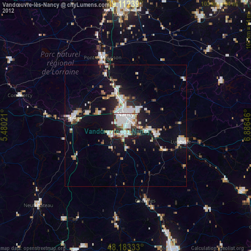
» Earth at Night: Flat Maps 2012, 2016