Laneuveville-devant-Nancy night lights from space
Night Light of Laneuveville-devant-Nancy (Grand Est) from space (France) Src. Average luminocity for 10x10km area is 65.7202% and for 50x50km: 11.9336%.
Analysis of Laneuveville-devant-Nancy night lights 2016
Square area 10x10 km:
 27.53%
90-99
18.3%80-89
4.46%70-79
2.53%60-69
3.57%50-59
4.02%40-49
4.76%30-39
6.99%20-29
16.96%10-19
10.86%0-9
0%Square area 50x50 km:
2.8%90-99
2.79%80-89
0.6%70-79
0.73%60-69
0.87%50-59
1.04%40-49
1.04%30-39
1.89%20-29
3.39%10-19
9.35%0-9
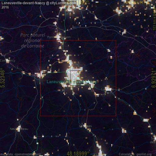
75.5%Clear (daylight) street map image can be seen on geolist.org.
Map coordinates:
49° 7' 8.1" North, 5° 31' 24.5" East
48° 39' 23.7" North, 6° 13' 35.7" East
48° 11' 24" North, 6° 55' 47" East
Some cities around Laneuveville-devant-Nancy sort by population:
• Nancy
4.3 km =2.7 mi,  315°
315°
• Vandœuvre-lès-Nancy
3.3 km =2.1 mi,  257°
257°
• Villers-lès-Nancy
5.7 km =3.5 mi,  288°
288°
• Saint-Max
5.5 km =3.4 mi,  344°
344°
• Jarville-la-Malgrange
2.1 km =1.3 mi,  303°
303°
• Essey-lès-Nancy
5.4 km =3.4 mi,  0°
0°
• Tomblaine
3.1 km =1.9 mi,  345°
345°
• Heillecourt
2.4 km =1.5 mi,  253°
253°
3007780 (p: 5,168)
Sources (retrieved 2019-11-25):
» Earth at Night: Flat Maps 2012, 2016