Vallauris night lights from space
Night Light of Vallauris (Provence-Alpes-Côte d'Azur) from space (France) Src. Average luminocity for 10x10km area is 74.0061% and for 50x50km: 23.288%.
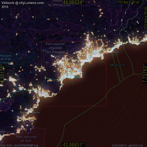
Analysis of Vallauris night lights 2016
Square area 10x10 km:
 25.15%
90-99
24.09%80-89
4.7%70-79
6.36%60-69
12.27%50-59
4.09%40-49
2.42%30-39
8.03%20-29
10.15%10-19
2.73%0-9
0%Square area 50x50 km:
4.44%90-99
5.31%80-89
2.24%70-79
2.46%60-69
3.59%50-59
3.44%40-49
2.38%30-39
3.09%20-29
6.34%10-19
9.34%0-9
57.38%Clear (daylight) street map image can be seen on geolist.org.
Map coordinates:
44° 5' 6.9" North, 6° 21' 5" East
43° 34' 40.9" North, 7° 3' 16.2" East
43° 3' 59.4" North, 7° 45' 27.5" East
Some cities around Vallauris sort by population:
• Antibes
4.4 km =2.7 mi,  78°
78°
• Cannes
4.5 km =2.8 mi,  228°
228°
• Le Cannet
2.9 km =1.8 mi,  266°
266°
• Mandelieu-la-Napoule
10.1 km =6.3 mi,  249°
249°
• Mougins
5.4 km =3.4 mi,  297°
297°
• Valbonne
7.6 km =4.7 mi,  323°
323°
• Mouans-Sartoux
8.2 km =5.1 mi,  305°
305°
• Biot
6.5 km =4 mi,  30°
30°
2970962 (p: 27,286)
Sources (retrieved 2019-11-25):
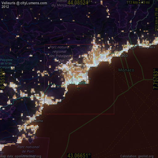
» Earth at Night: Flat Maps 2012, 2016