Le Creusot night lights from space
Night Light of Le Creusot (Bourgogne-Franche-Comté) from space (France) Src. Average luminocity for 10x10km area is 25.7083% and for 50x50km: 3.4207%.
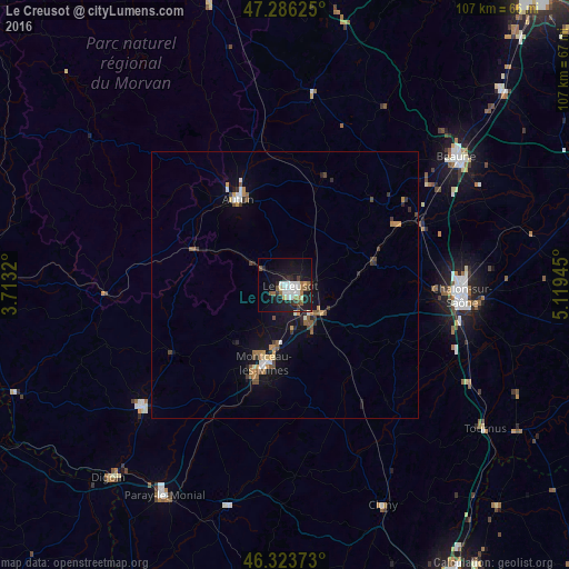
Analysis of Le Creusot night lights 2016
Square area 10x10 km:
 4.61%
4.61%90-99
6.1%80-89
1.64%70-79
0.74%60-69
4.02%50-59
3.27%40-49
1.93%30-39
3.27%20-29
3.13%10-19
30.51%0-9
40.77%Square area 50x50 km:
0.38%90-99
0.46%80-89
0.21%70-79
0.43%60-69
0.45%50-59
0.57%40-49
0.47%30-39
0.55%20-29
0.51%10-19
2.91%0-9
93.07%Clear (daylight) street map image can be seen on geolist.org.
Map coordinates:
47° 17' 10.5" North, 3° 42' 47.5" East
46° 48' 25.7" North, 4° 24' 58.8" East
46° 19' 25.4" North, 5° 7' 10" East
Some cities around Le Creusot sort by population:
• Saint-Leu
10.7 km =6.6 mi,  142°
142°
• Montceau-les-Mines
16.1 km =10 mi,  193°
193°
• Autun
18.3 km =11.4 mi,  330°
330°
• Saint-Vallier
18.8 km =11.7 mi, 190°
• Blanzy
12.1 km =7.5 mi, 190°
• Châtenoy-le-Royal
30.1 km =18.7 mi,  91°
91°
• Chagny
27.9 km =17.3 mi,  65°
65°
• Montchanin
7.6 km =4.7 mi,  147°
147°
3004427 (p: 25,590)
Sources (retrieved 2019-11-25):
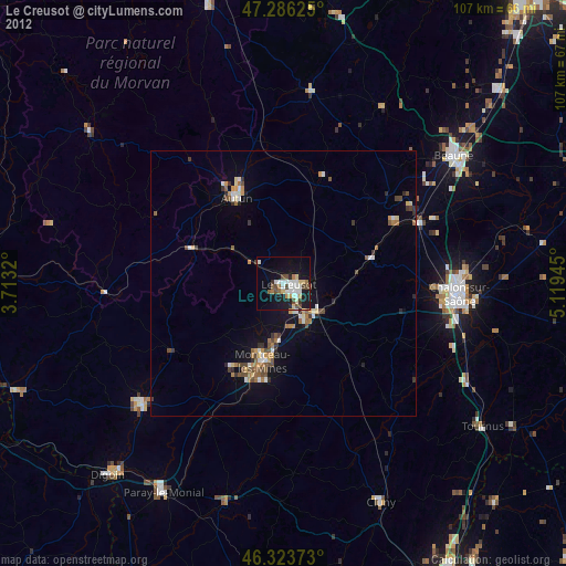
» Earth at Night: Flat Maps 2012, 2016