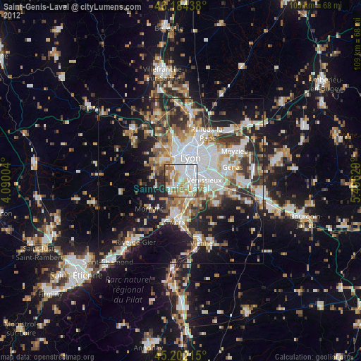
Saint-Genis-Laval night lights from space
Night Light of Saint-Genis-Laval (Auvergne-Rhône-Alpes) from space (France) Src. Average luminocity for 10x10km area is 80.0879% and for 50x50km: 34.0606%.
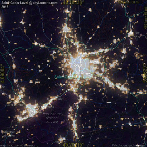
Analysis of Saint-Genis-Laval night lights 2016
Square area 10x10 km:
 33.33%
90-99
21.36%80-89
4.7%70-79
6.52%60-69
9.85%50-59
11.36%40-49
6.36%30-39
3.18%20-29
3.33%10-19
0%0-9
0%Square area 50x50 km:
8.65%90-99
7.17%80-89
2.49%70-79
3.5%60-69
3.69%50-59
4.32%40-49
4.55%30-39
5.45%20-29
9.4%10-19
13.37%0-9
37.42%Clear (daylight) street map image can be seen on geolist.org.
Map coordinates:
46° 11' 3.8" North, 4° 5' 24.1" East
45° 41' 43.5" North, 4° 47' 35.4" East
45° 12' 7.7" North, 5° 29' 46.6" East
Some cities around Saint-Genis-Laval sort by population:
• Oullins
2.4 km =1.5 mi,  28°
28°
• Brignais
3.9 km =2.4 mi,  231°
231°
• Francheville
5.1 km =3.2 mi,  333°
333°
• Pierre-Bénite
2.6 km =1.6 mi,  69°
69°
• Feyzin
5.7 km =3.5 mi,  116°
116°
• Irigny
3.4 km =2.1 mi,  137°
137°
• Chaponost
4.3 km =2.7 mi,  292°
292°
• La Mulatière
3.9 km =2.4 mi,  22°
22°
2979985 (p: 20,883)
Sources (retrieved 2019-11-25):
» Earth at Night: Flat Maps 2012, 2016