Saint-Étienne night lights from space
Night Light of Saint-Étienne (Auvergne-Rhône-Alpes) from space (France) Src. Average luminocity for 10x10km area is 73.4587% and for 50x50km: 14.4089%.
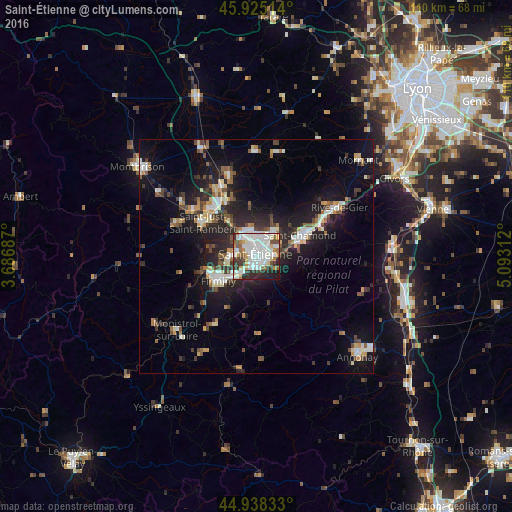
Analysis of Saint-Étienne night lights 2016
Square area 10x10 km:
 25.24%
90-99
26.83%80-89
3.33%70-79
6.19%60-69
5.4%50-59
5.87%40-49
3.65%30-39
9.52%20-29
10.63%10-19
3.33%0-9
0%Square area 50x50 km:
2.24%90-99
2.75%80-89
1.15%70-79
1.3%60-69
1.63%50-59
1.7%40-49
2.04%30-39
1.98%20-29
4.93%10-19
10.57%0-9
69.7%Clear (daylight) street map image can be seen on geolist.org.
Map coordinates:
45° 55' 30.5" North, 3° 41' 12.7" East
45° 26' 2" North, 4° 23' 24" East
44° 56' 18" North, 5° 5' 35.2" East
Some cities around Saint-Étienne sort by population:
• Firminy
9.3 km =5.8 mi,  238°
238°
• Le Chambon-Feugerolles
7.1 km =4.4 mi,  228°
228°
• Roche-la-Molière
4.8 km =3 mi,  266°
266°
• Villars
4.6 km =2.9 mi,  324°
324°
• Unieux
9.9 km =6.2 mi,  250°
250°
• La Ricamarie
3.6 km =2.2 mi,  206°
206°
• Sorbiers
7.5 km =4.7 mi,  32°
32°
• La Talaudière
5.5 km =3.4 mi, 30°
2980291 (p: 176,280)
Sources (retrieved 2019-11-25):
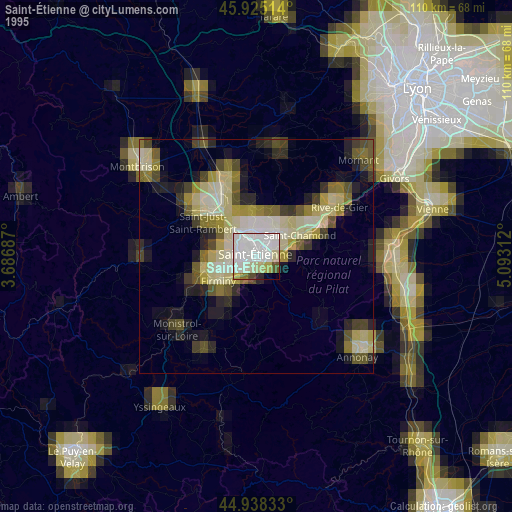
» NASA, Earths city lights 1995
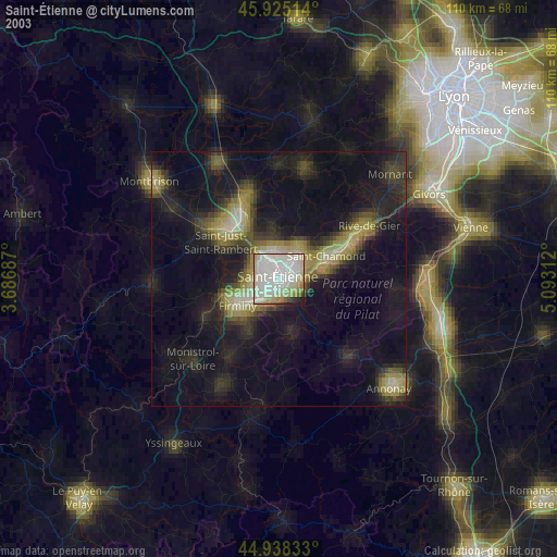
» NASA city lights 2003
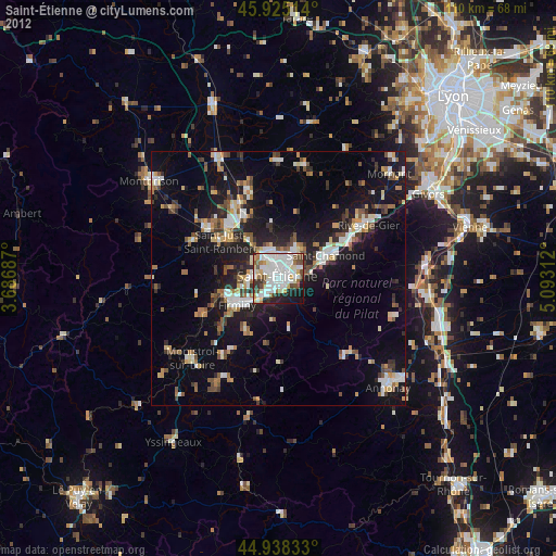
» Earth at Night: Flat Maps 2012, 2016